


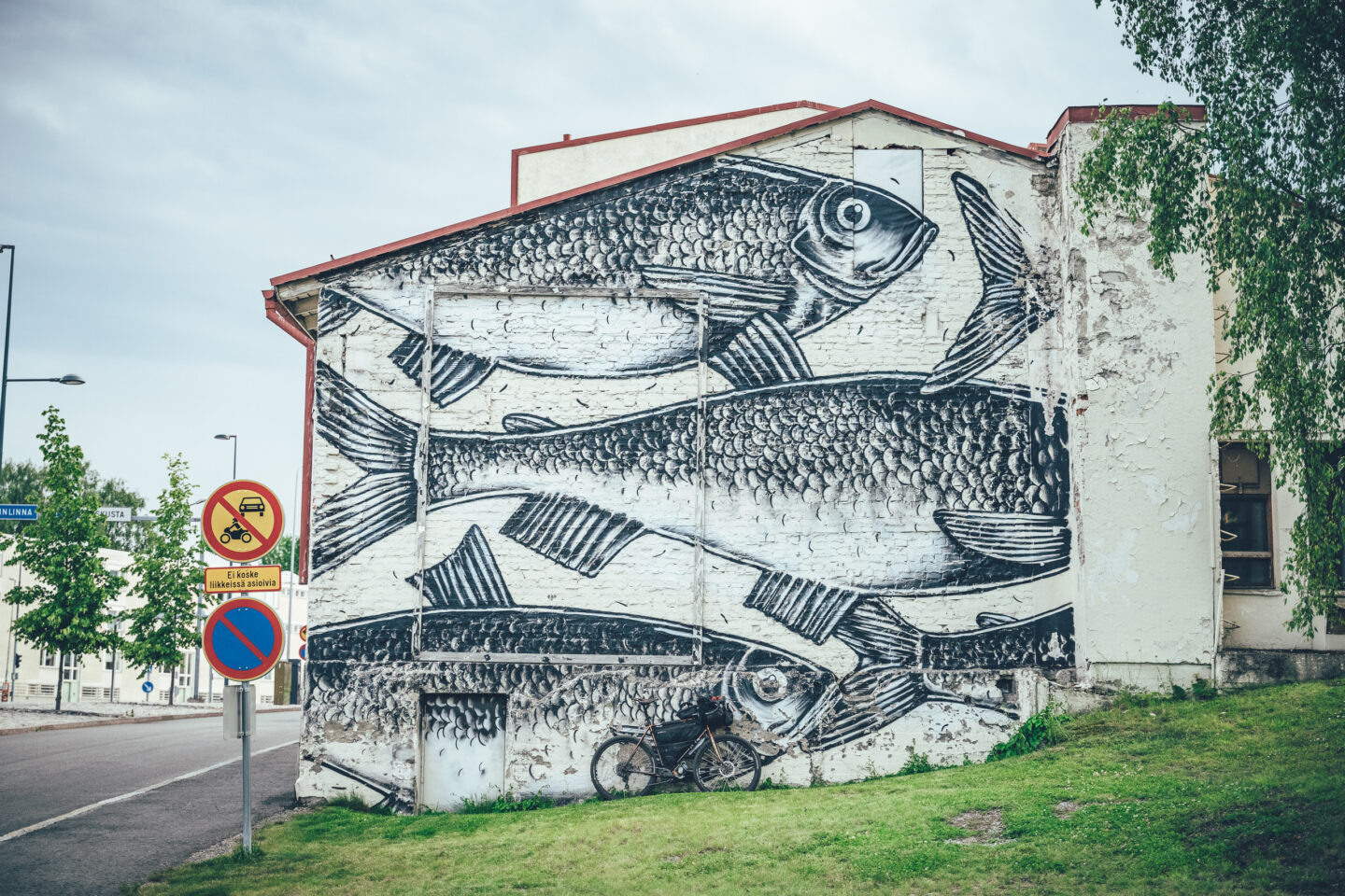
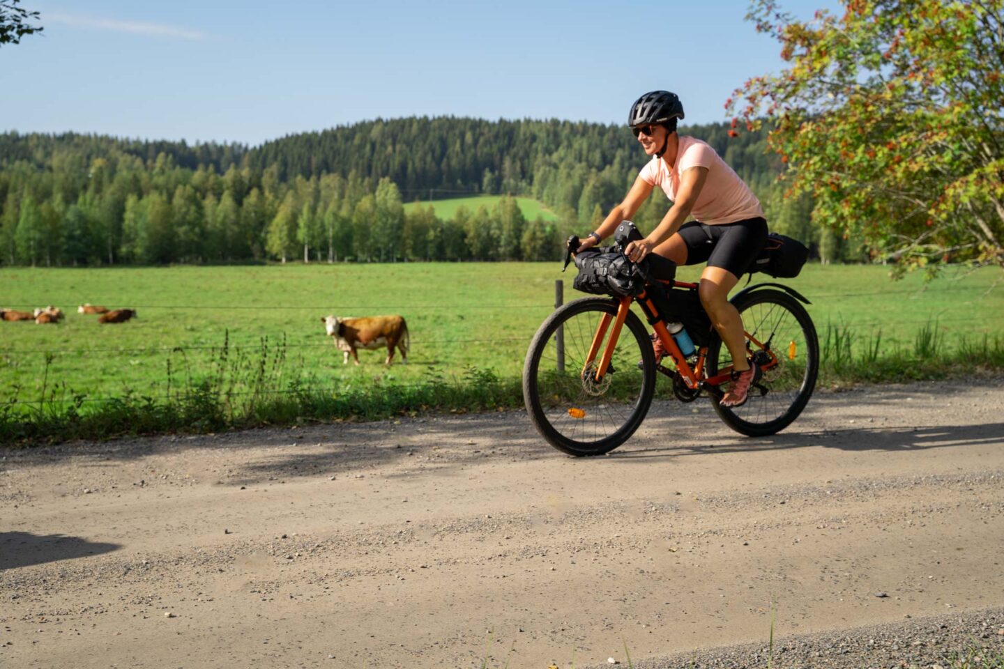
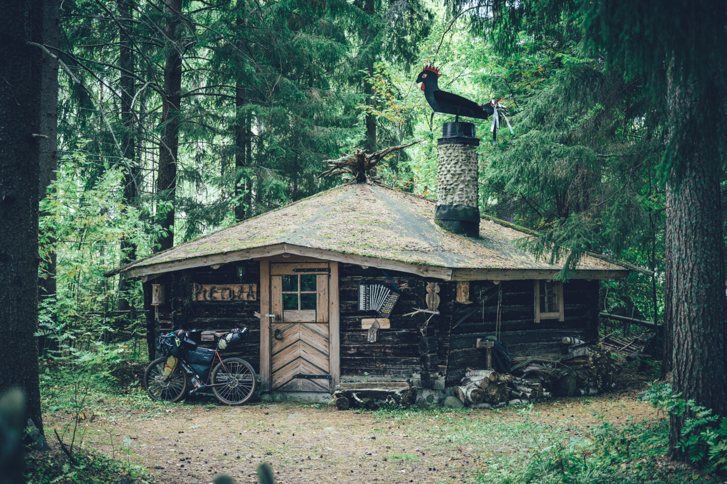
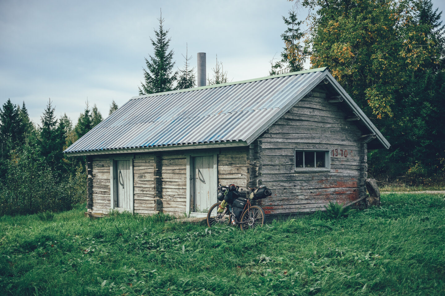
Saimaa by Cycle Bikepacking: North Saimaa Loop
 707 km
 8-13 days
 6730m
6730m 160m
160m 40 %
40 % 0.5 %
0.5 % 3
3 100 %
100 %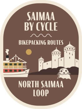
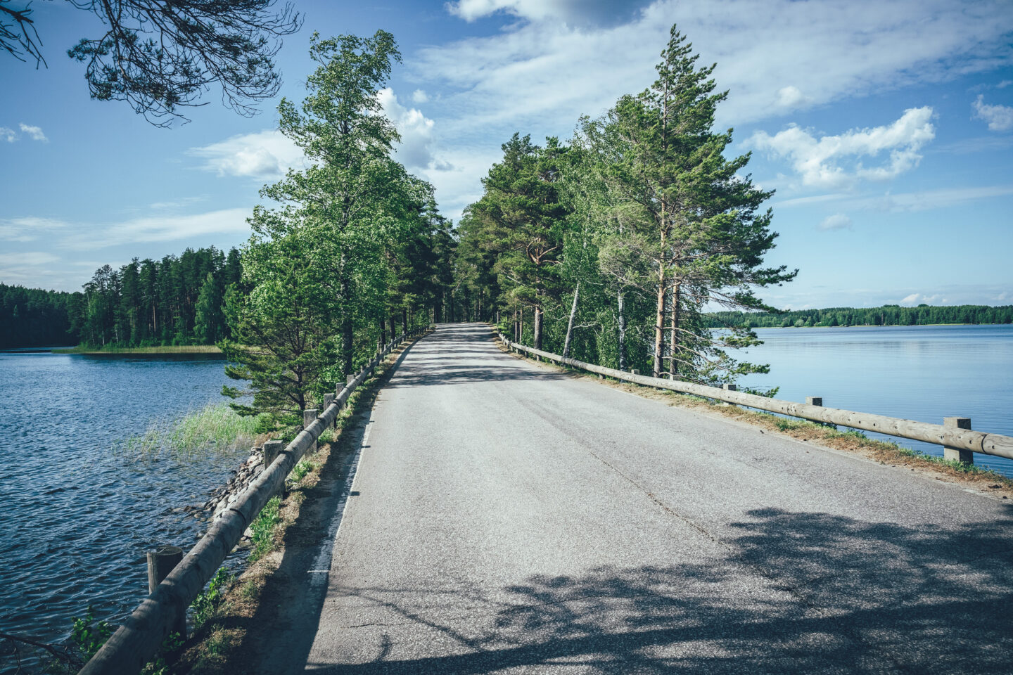
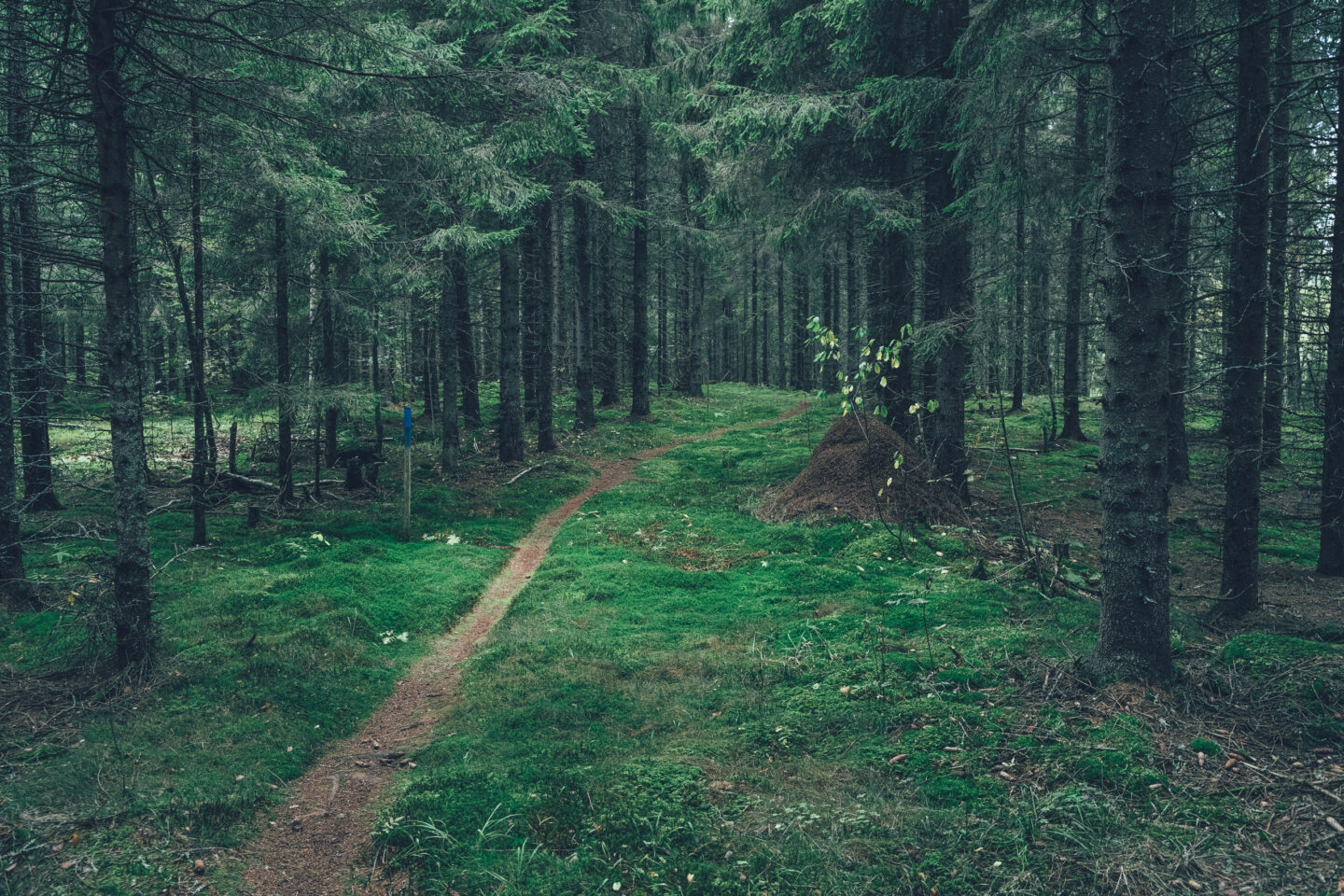
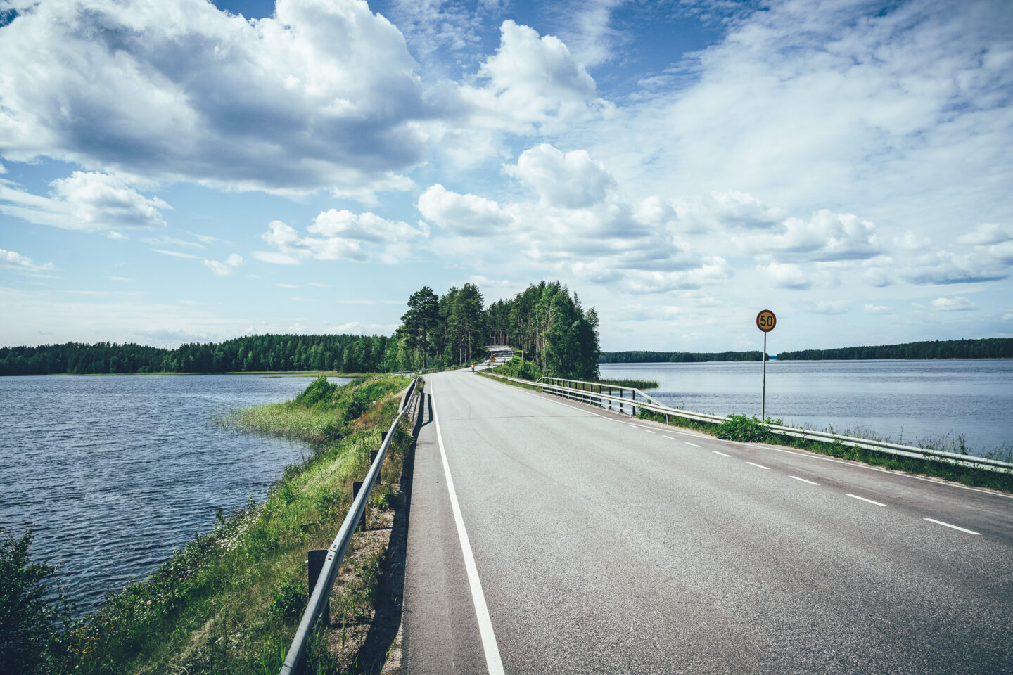
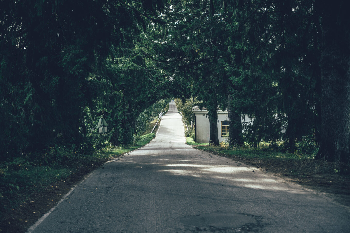
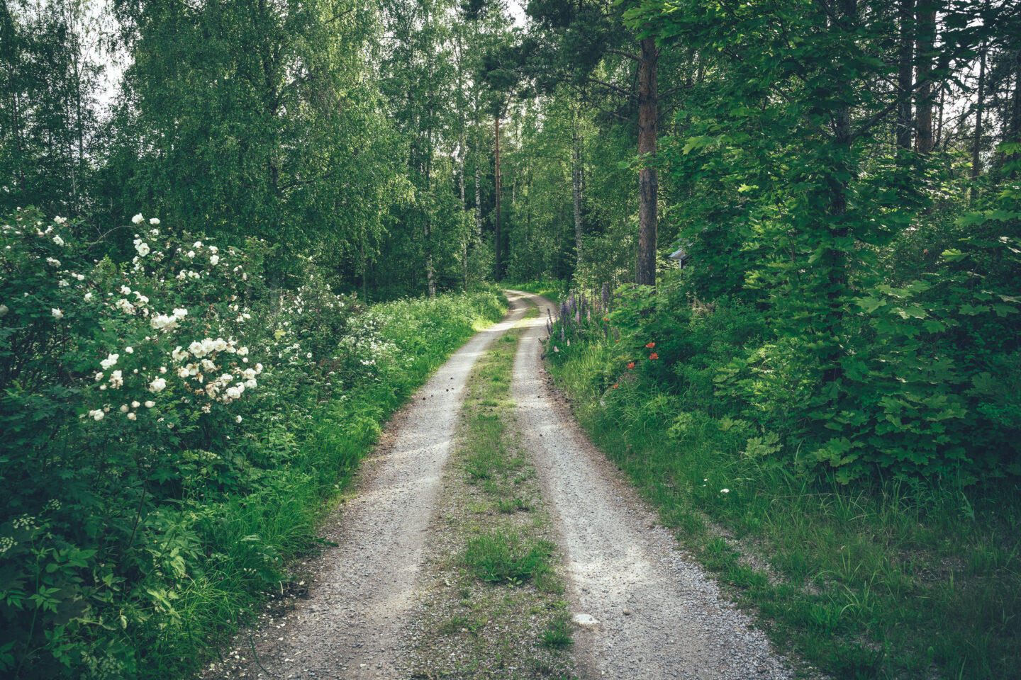
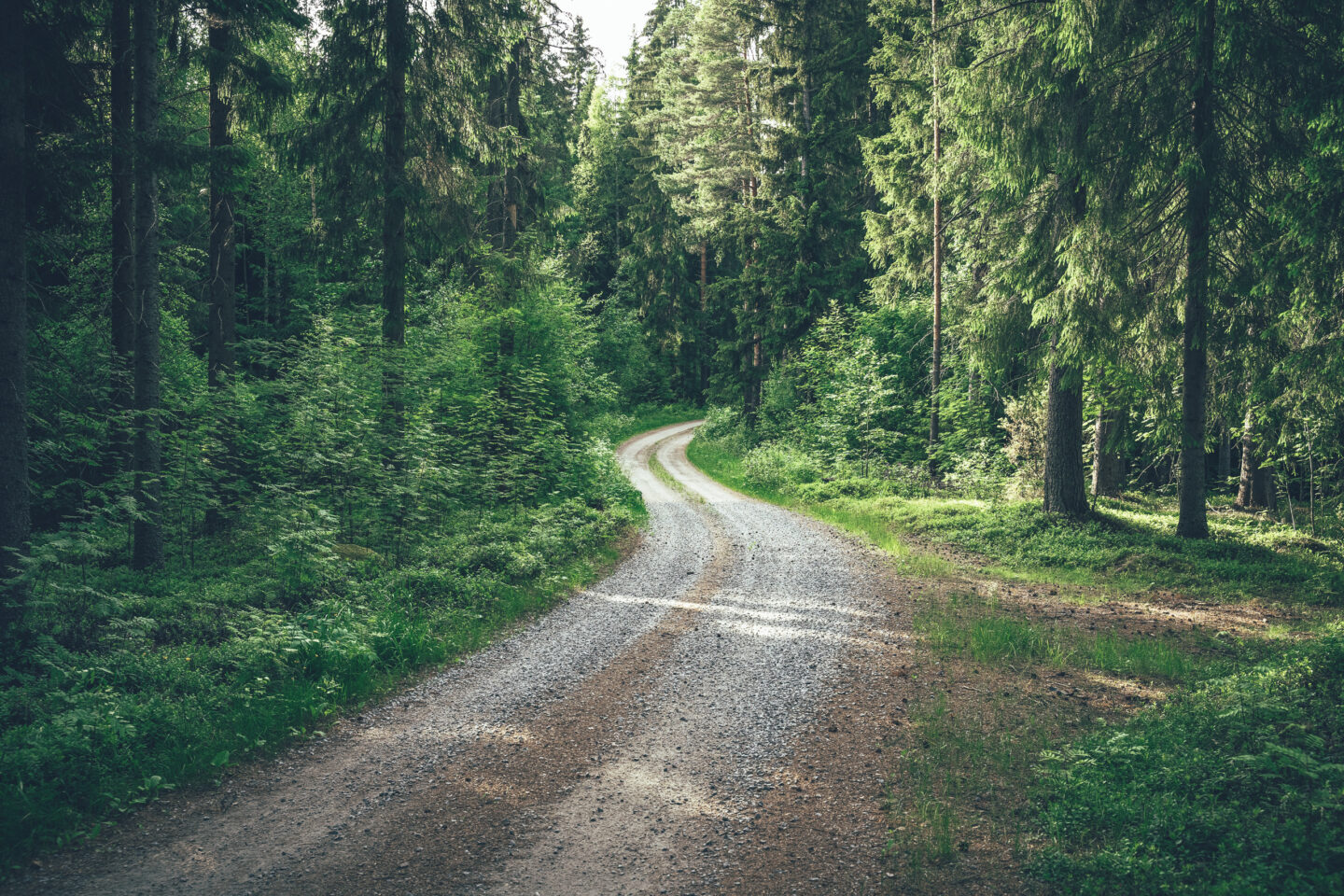
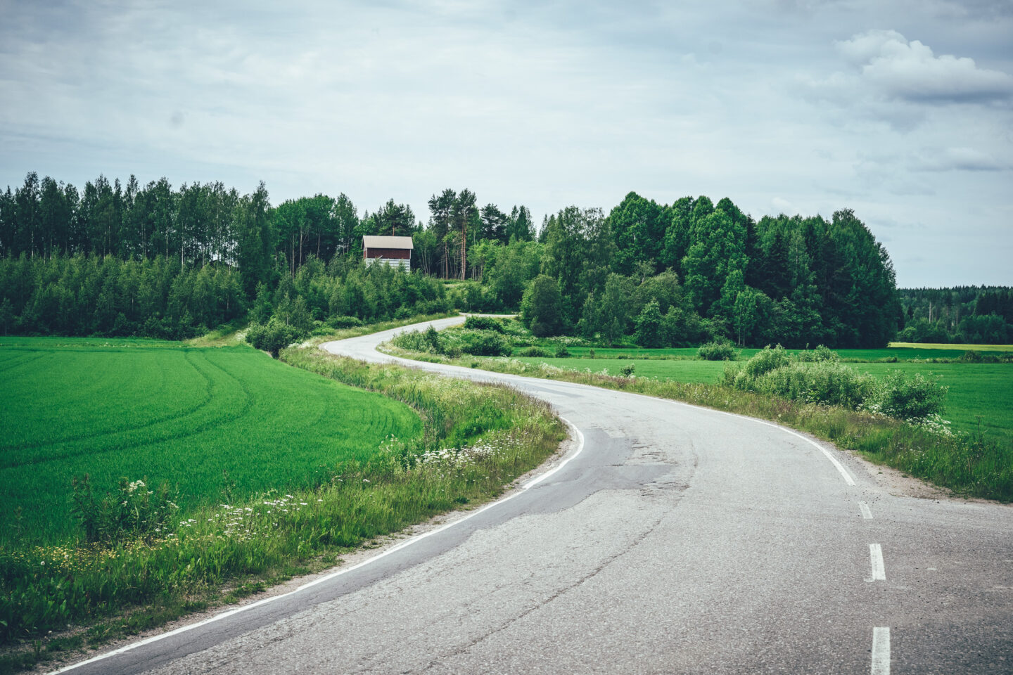
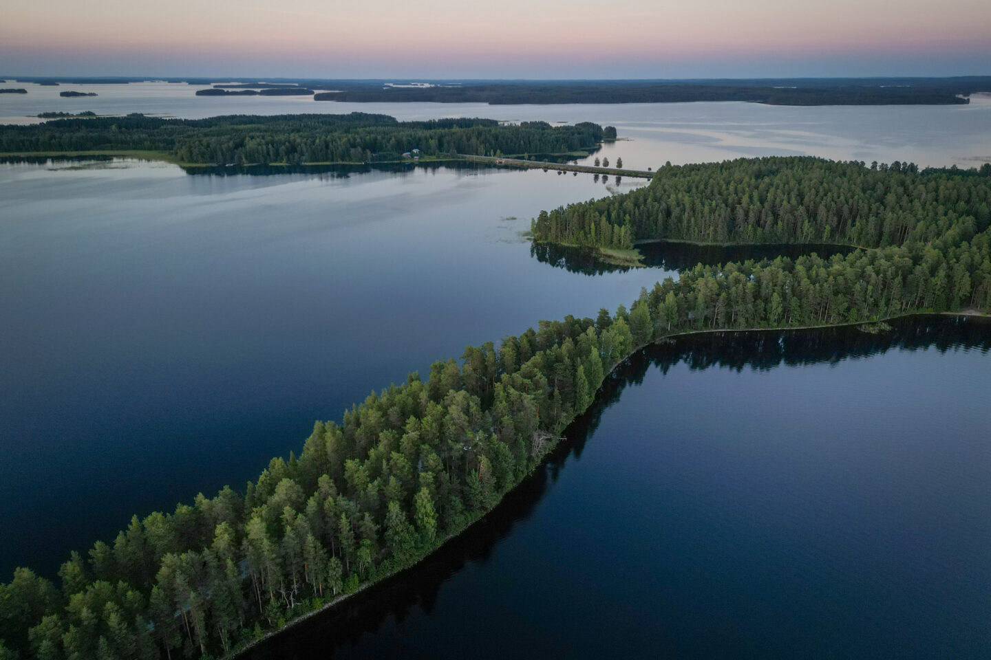
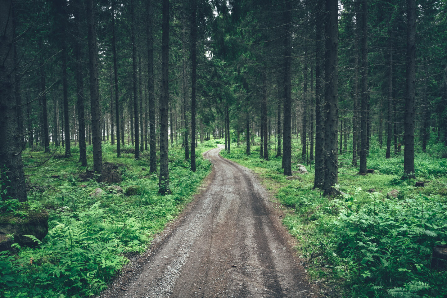
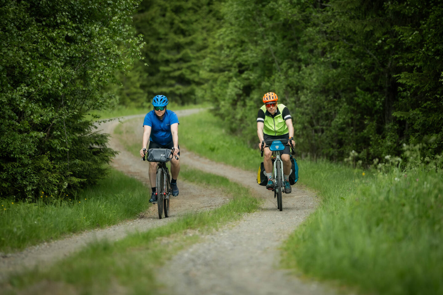
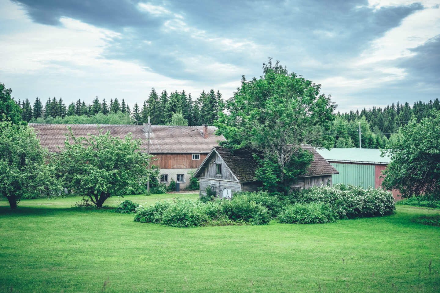
The North Saimaa Loop is the main route of the Saimaa by Cycle network: a 707-kilometre circular route that brings together the finest gravel roads, island villages, eskers, canals, monasteries, national parks and services of the northern Saimaa lake district into one long bikepacking adventure. Starting from Savonlinna, the route runs clockwise around the northern reaches of Saimaa, linking lake views, villages and cultural landscapes with easy gravel roads, quiet paved roads and a few more remote touring sections.
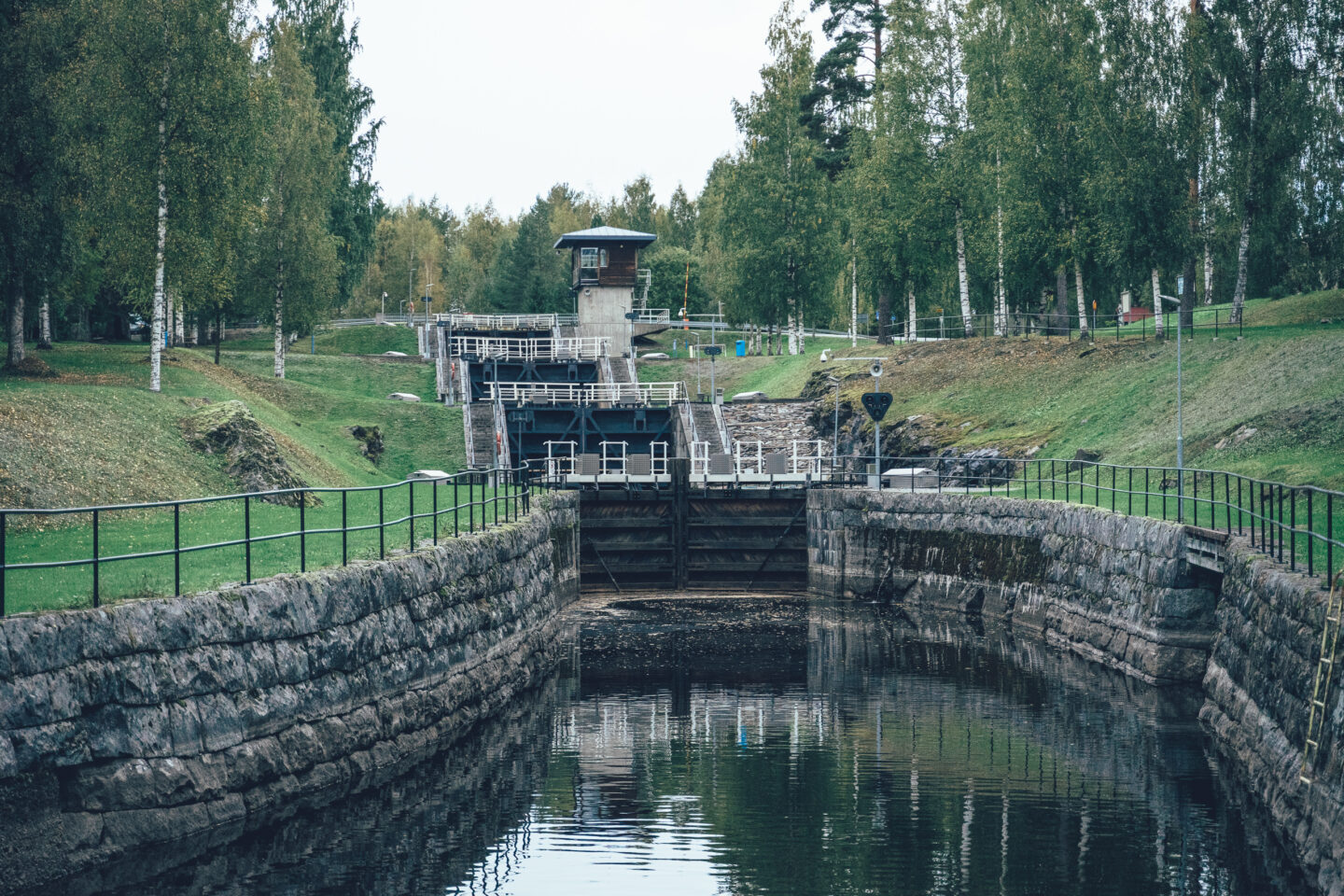
From Savonlinna, the route heads via Enonkoski to Savonranta, and from there along quiet forest roads towards the landscapes of Kolovesi National Park. The rocky shores, sheltered camping spots and lake nature of Kolovesi give the route a distinctly wilderness like character before the journey continues towards Heinävesi railway station, Kermanranta and the area of canals and monasteries. This section can also be travelled by the steamship S/S Heinävesi from Savonlinna to Karvio Canal.
In the Heinävesi area, the route passes the historic Karvio, Varistaipale and Taivallahti canals, as well as the Lintula and Valamo monasteries with their services. The Palokki rapids are also located in this area and play a key role in the future of the critically endangered landlocked salmon and brown trout of Saimaa. Around the monastery area, it is possible to take the M/S Sergei cruise between Varistaipale Canal and Valamo Monastery. After the monasteries, the route continues along one of the finest gravel road sections of the entire loop towards Sarvikumpu village shop, before making a detour via Viinijärvi and Ylämylly to the open fields of Liperi and the harbour of Kirkkolahti.
From Liperi, the route continues into Central Karelia and Rääkkylä, passing through Oravisalo, Finland’s largest inland island, on the way to Paksuniemi in Rääkkylä. From there, the route continues through clear lakes, small villages and quiet country roads to Tohmajärvi, Kitee and Kesälahti. From Kesälahti, the route winds through the old village of Totkunniemi to Uukuniemi, before continuing along a long and at times remote borderland section towards Parikkala. Before Parikkala, the route passes close to the Siikalahti Nature Reserve, known as the most important bird wetland in inland Finland and an excellent birdwatching site.
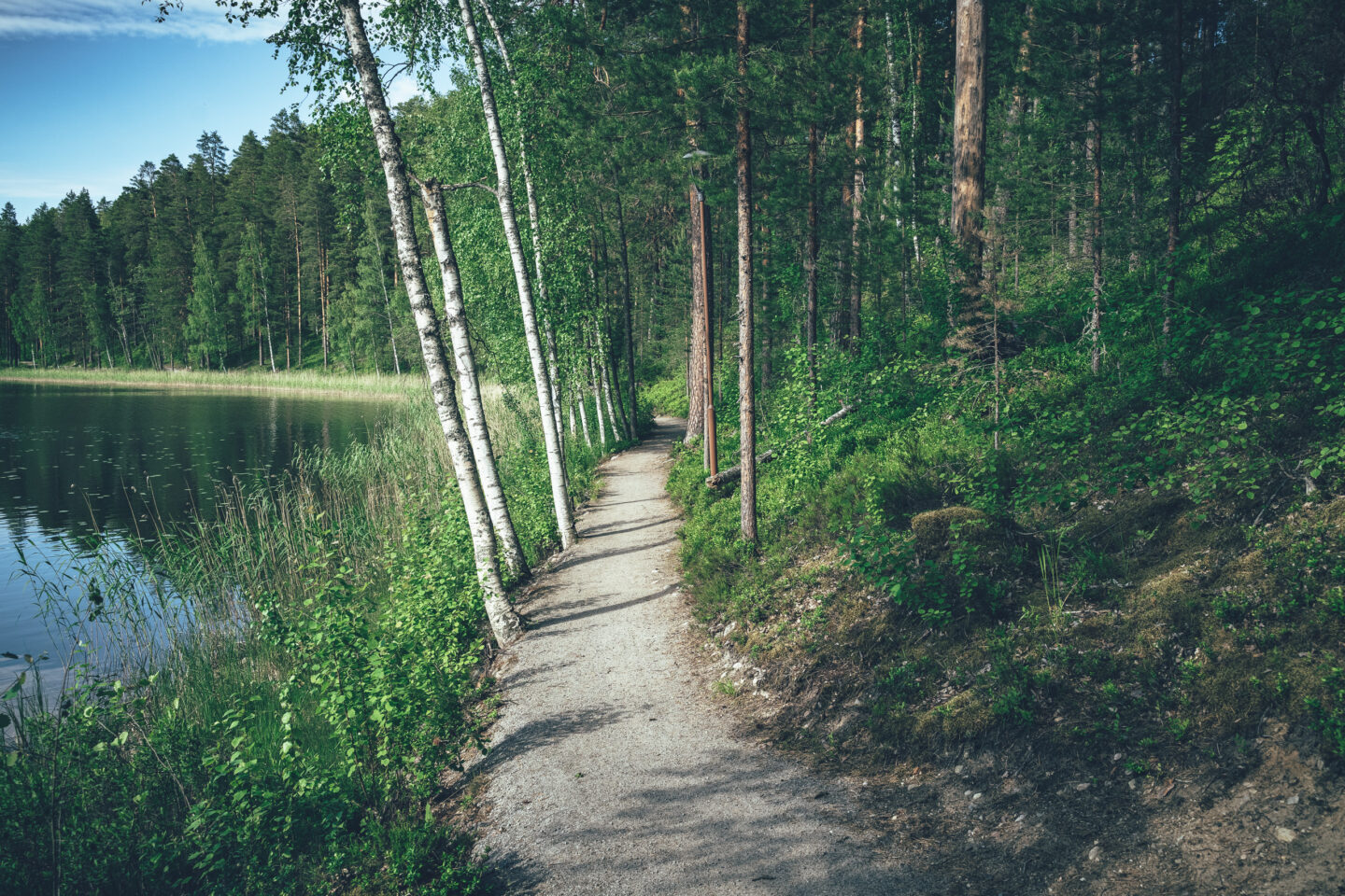
Between Parikkala and Punkaharju, the route follows quiet and at times very remote gravel roads towards Finland’s most famous esker landscape. Punkaharju Nature Reserve, the old esker road surrounded by water, local outdoor trails and the area’s services form a true highlight towards the end of the route, after which only the final stage back to the services of Savonlinna remains. From Punkaharju, there is also a cruise connection to Savonlinna.
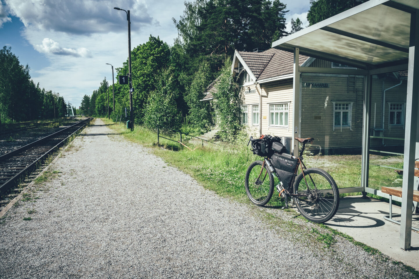
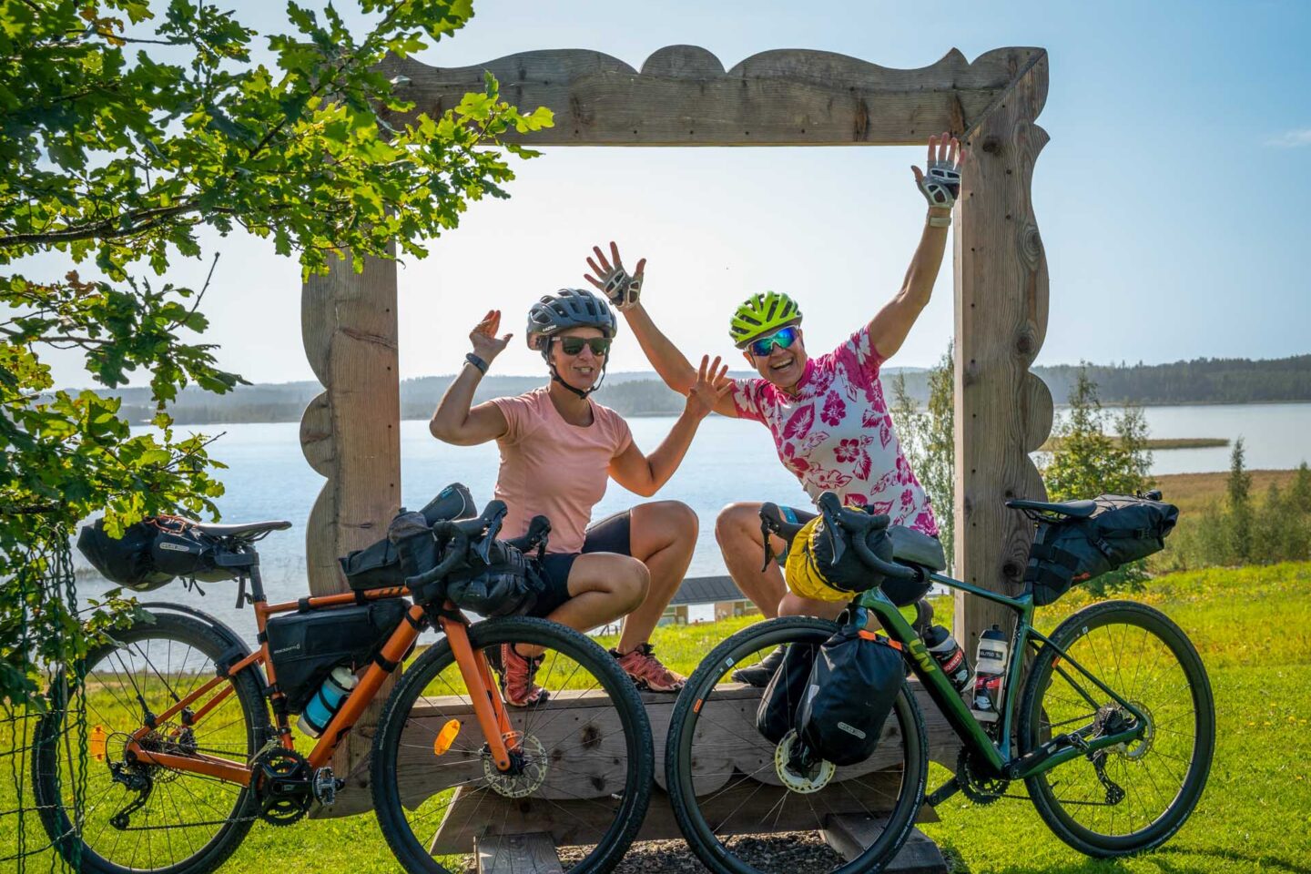
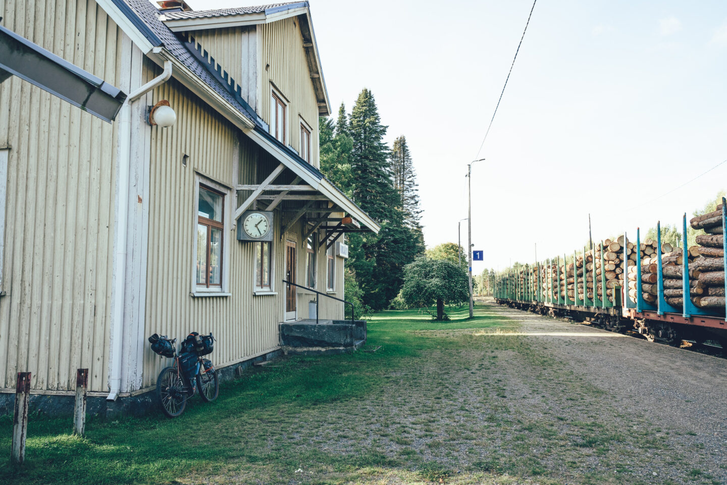
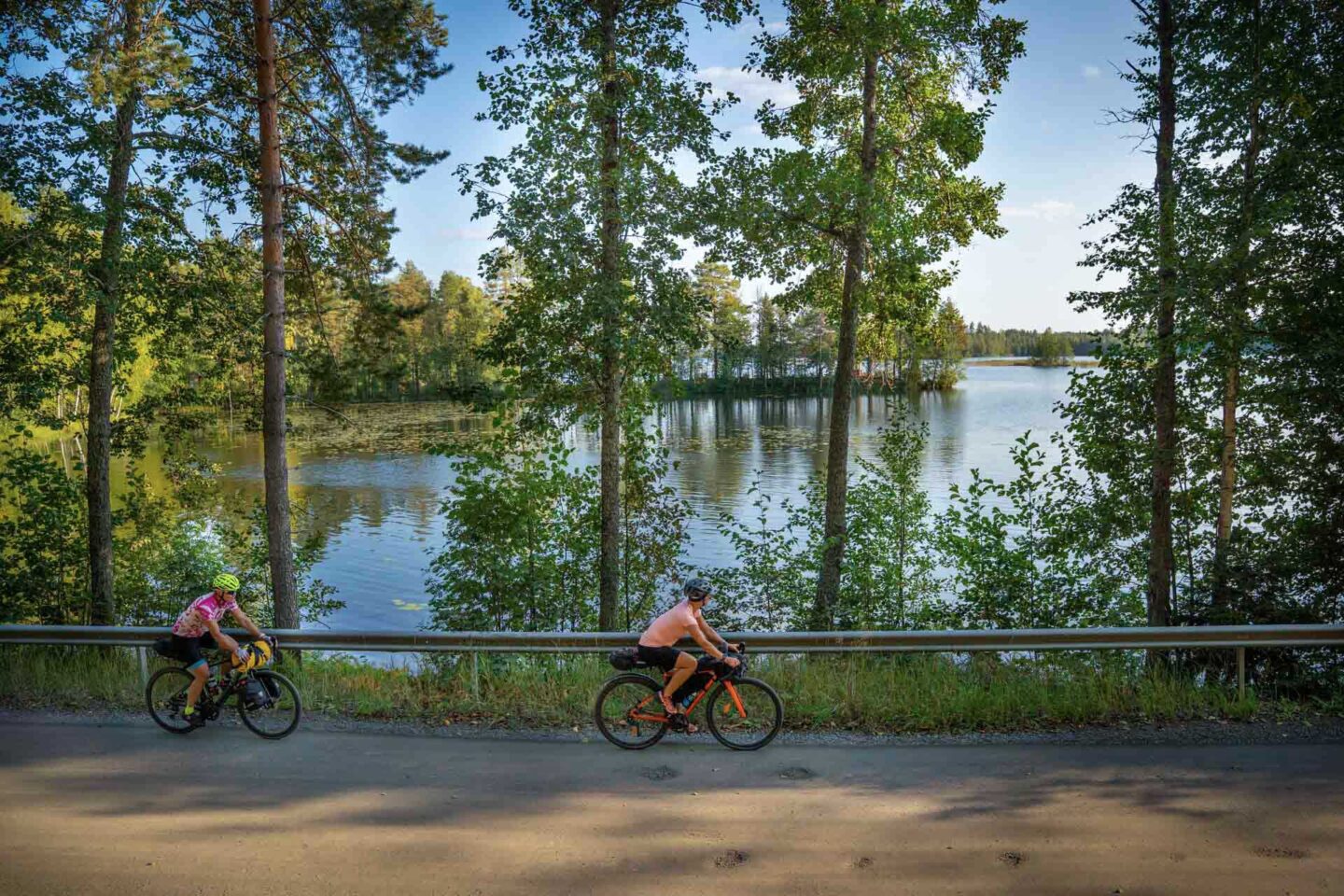
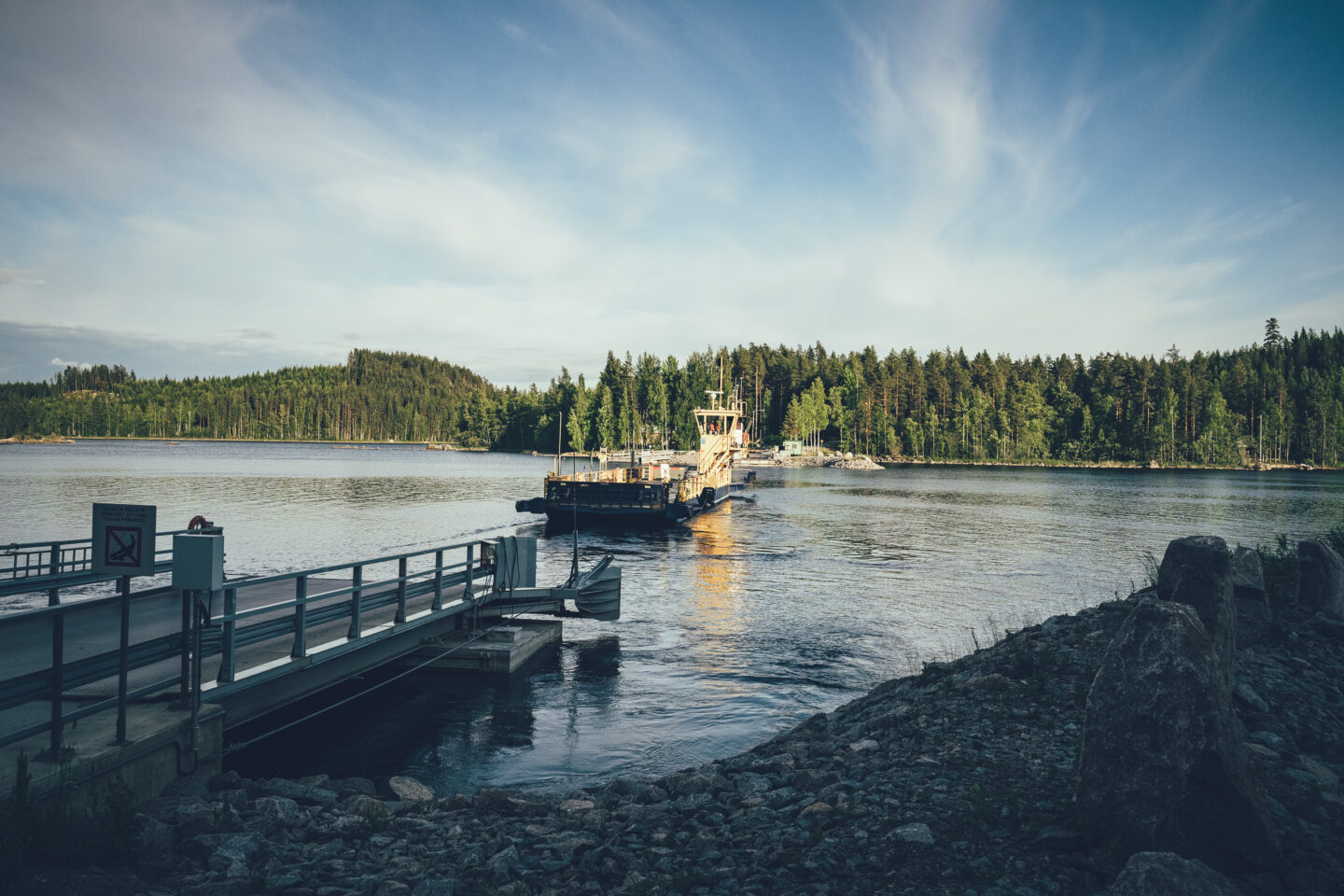
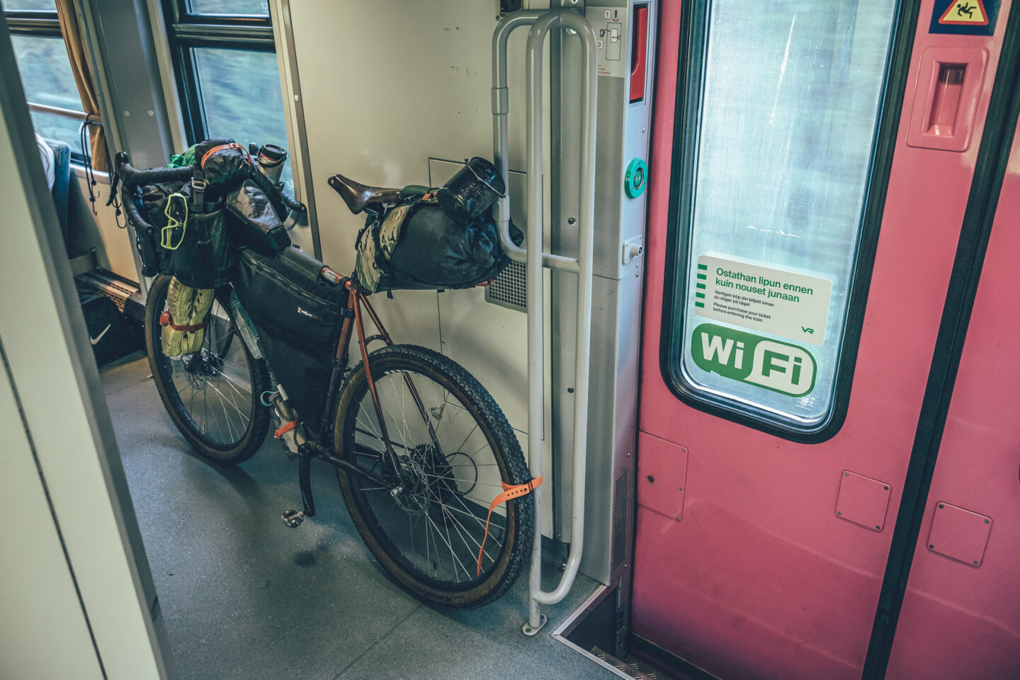
There are 10 railway stations along the route, making it easy to access, exit and divide into shorter trips. The lake district character of the route is reflected not only in the route logo, but also in its boat connections and cruise options: there are four boat connections along the route that allow riders to cover parts of the journey by water and create a natural rhythm between gravel touring and lake cruises. The route is suitable both for riders looking for a long lake district adventure and for those who want to explore the northern parts of Saimaa one section at a time. It is possible to ride the route from guesthouse to guesthouse without camping gear, provided that a maximum daily distance of around 70 kilometres is manageable and accommodation is booked in advance. Travelling with a tent, however, gives more flexibility.


- Punkaharju Nature Reserve and the old esker road, one of Finland’s best-known scenic landscapes and a clear highlight towards the end of the route.
- Saimaa’s boat connections and cruise options allow riders to combine cycling with time on the water. Possible connections include Savonlinna–Karvio Canal, Varistaipale Canal–Valamo Monastery, Punkaharju–Savonlinna and Joensuu–Saariston Puoti, if the route is extended via Joensuu and Lykynlampi.
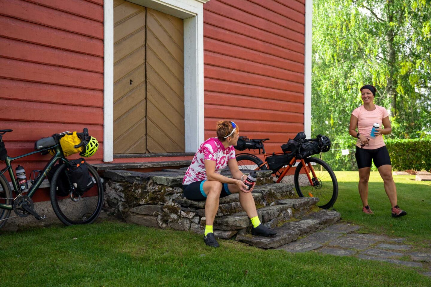
- The Valamo and Lintula monasteries, which offer a unique combination of peaceful atmosphere, cultural history, accommodation and food services, and the landscape between the two monasteries.
- The historic canals of Heinävesi: the Karvio, Varistaipale and Taivallahti canals add a strong layer of inland waterway history and cultural heritage to the route.
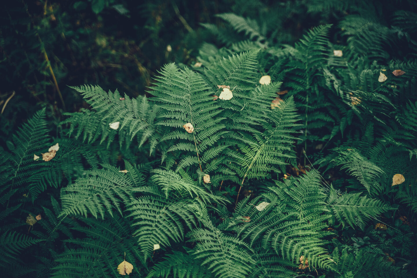
- The wild lake nature of Kolovesi National Park, with its rocky shores and excellent camping options on the section between Savonranta and Heinävesi.
- Siikalahti Nature Reserve, known as the most important bird wetland in inland Finland and an excellent birdwatching site.
- The clear lakes and village landscapes of Central Karelia, especially on the sections between Tohmajärvi, Kitee, Kesälahti and Uukuniemi.
- The Palokki rapids, which play an important role in the future of the endangered landlocked Saimaa salmon and brown trout.
- The island atmosphere of Rääkkylä and Oravisalo, Finland’s largest inland island, giving the route a strong archipelago character before it continues into the clear lakes and hill country of Central Karelia.
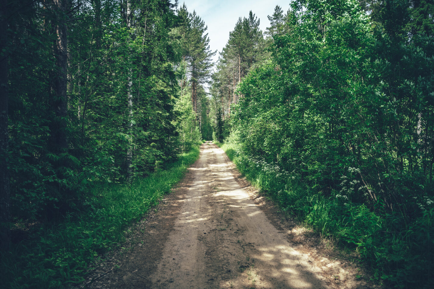
- The route can be ridden on almost any bicycle, as long as the minimum tyre width is 40 mm. Surface conditions vary from smooth to occasionally rough, so extra tyre volume is certainly useful. Larger tyres add comfort.
- The best season for cycle touring in North Karelia is usually from late May to the end of September. Daytime temperatures in early and late summer are often around 12–20°C, while in the main summer months they are typically in the 15–25°C range. However, long heatwaves are now also possible, especially in June, July and August.
- Water points are sometimes far apart along the route, so in summer heat be prepared to carry a full day’s water supply between refill points. Services along the route function as water points. If camping, be prepared to purify drinking water from lake water or carry enough from the previous water point for the night.
- When choosing a sleeping bag, it is good to assume that night-time temperatures can drop well below 10°C at least in early and late summer.
- The route has digital navigation only. Read the tips for navigating digital routes on the Bikeland.fi website.
- Always stay on the guided route and try to use only the campsites and rest areas recommended in the route description. Also follow Metsähallitus’ Outdoor Etiquette and Suomen Latu’s Mountain Biker’s Etiquette.
- Mobile network coverage extends across the entire route area: emergency calls can always be made by calling 112 or using the 112 Suomi app.
- The route can be ridden without camping gear at the daily pace described in the Route Description, as long as accommodation is booked in advance. The longest daily distances between accommodation options are around 70 kilometres.
- Accommodation prices vary from inexpensive to moderate, and the value for money is generally excellent.
- Camping along the route requires some advance planning, as some rest areas are suitable for overnight stays and others are not. In addition to official campsites, recommended camping spots include certain remote beaches and selected lean-tos and shelters. The Route Description includes a suggested daily itinerary based on suitable camping locations.
- Drinking water is not available at many of the recommended camping spots, so carry water for the night from the last water point before camp. If the camping spot is by a lake, drinking water can usually also be purified from lake water.
- Firewood and dry toilets are available only at some rest and overnight spots.
- Airbnb accommodation options are also available occasionally along the route.
- At campfire sites, remember that open fires are strictly prohibited during a forest fire warning. Information on regional forest fire warnings is available here.
- Restaurants and cafés are generally available regularly along the route, but there are also a few more remote sections where food services are not available during the day. Some cafés along the route are open only in summer and may have limited opening hours, so it is worth checking opening times in advance.
- Shops are located regularly along the route, so there is no need to carry more than a little over one day’s food supply. The longest section without a shop is the 70-kilometre stage from Savonranta to Heinävesi.
- Water points are far apart along the route, so in summer heat be prepared to carry at least a full day’s water supply between overnight stops. Services along the route function as water points. The longest section without water points is about 60 kilometres, from Sarvikumpu village shop to Savonranta. If camping, be prepared to purify drinking water from lake water.
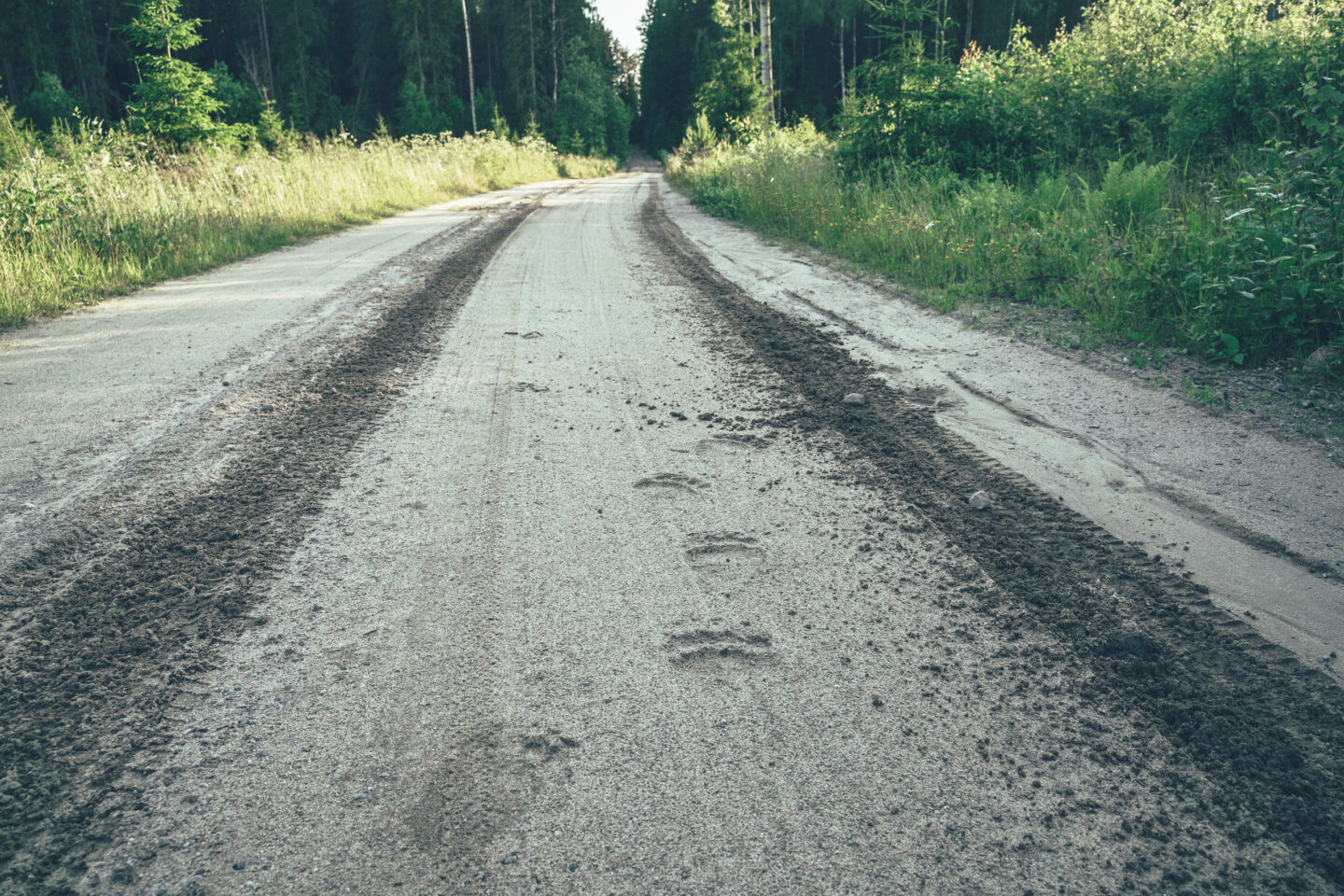
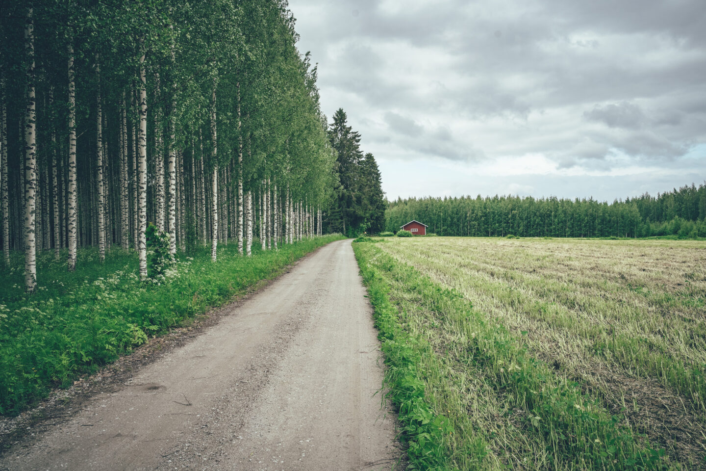
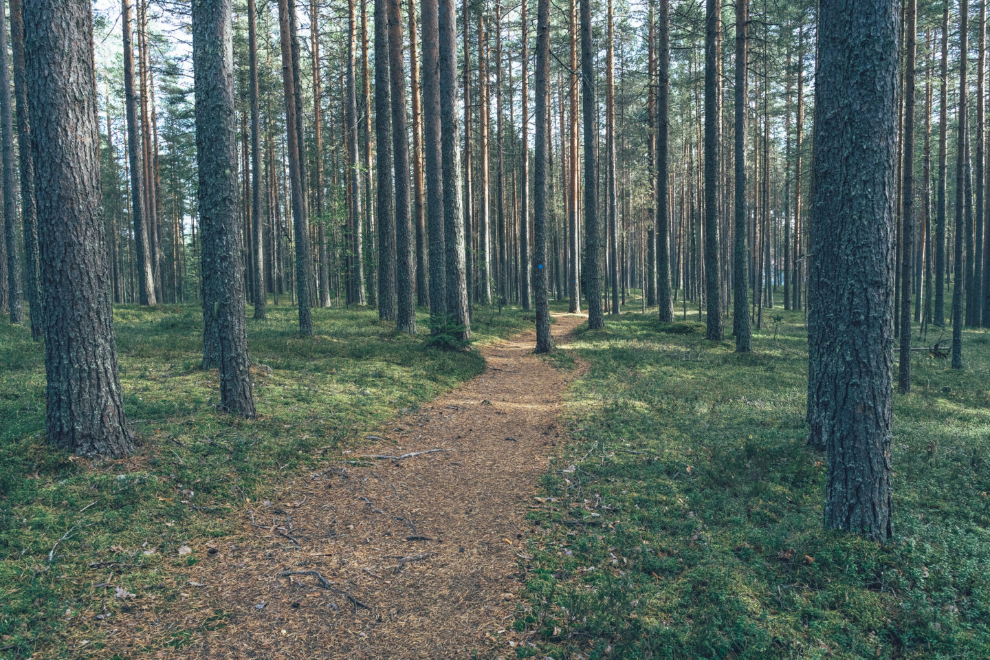
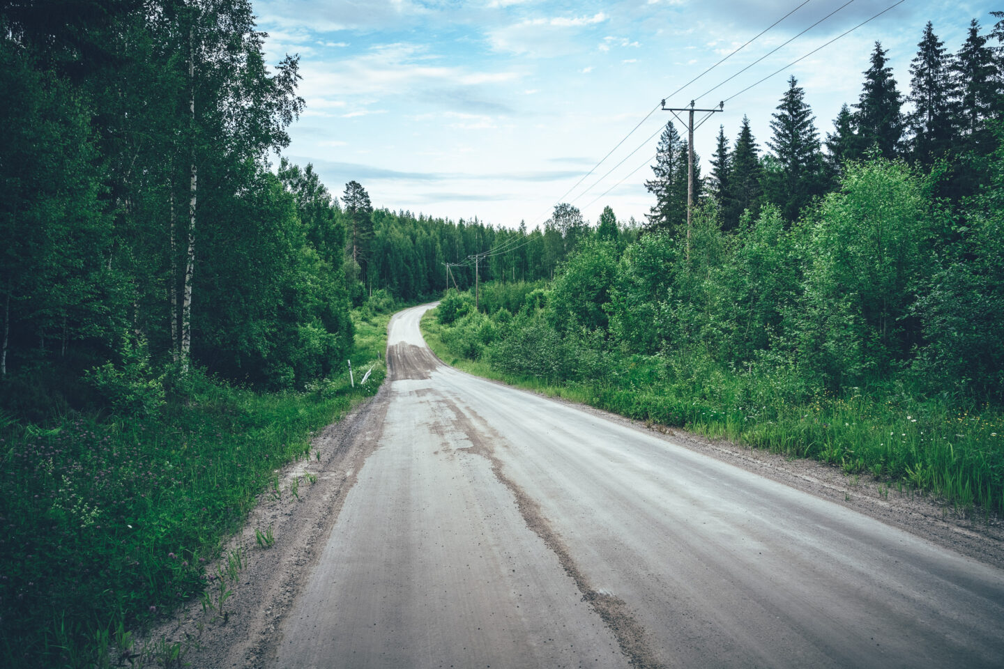
- The route mainly follows easy and fairly flat gravel roads, and there are very few extremely rough or soft sections. However, it is good to be aware that most gravel roads are maintained, meaning they are graded in May and June, after which the surface can remain soft for anything from a few days to a week.
- The only trail sections on the route are between Valamo and Lintula monasteries, where you may need to dismount briefly. The total length of these sections is just under one kilometre.
- Some parts of the route are fairly hilly, so it is worth having low enough gears. On average, the route has around 1,000 metres of elevation gain per 100 kilometres, which is typical by Finnish standards.
- The physical difficulty of the route can be managed with a daily itinerary that suits your own pace and the fitness level of your group. There are plenty of services along the route, and it is possible to ride from accommodation to accommodation at a fairly relaxed pace.
- In terms of touring challenge, the route is fairly easy, as food and accommodation services are spaced out conveniently along the way. The main challenge is carrying enough water, as the longest distance between water points is up to 70 kilometres. In summer heat, this may mean carrying as much as three litres of water, or even more depending on the rider.
- The route is rated 2/5 for technical difficulty, 3/5 for physical difficulty and 2/5 for touring challenge. Overall, the route difficulty is 3/5.
- Cycle touring is often more enjoyable with lighter gear, and this also applies to this route because of the moderate amount of climbing. Bikepacking bags are generally a lighter and more aerodynamic option than traditional racks and panniers, but any luggage setup will work as long as the bike has low enough gears — especially if the daily distances are chosen to suit your own fitness. The recommended minimum tyre width is 40 mm, but larger tyres add comfort and are unlikely to slow you down significantly.
- The recommended starting point for the route is Savonlinna, but the route can just as well be started from Kitee, Kesälahti, Parikkala or Punkaharju, for example.
- Thanks to excellent accessibility, the route is easy to ride in sections that suit your own schedule, from one railway station to another.
- The route can also be accessed by train from Heinävesi, Viinijärvi and Vihanti, but note that the rail connection between Pieksämäki and Joensuu currently runs only twice a day.
- Joensuu also works as a starting point for the route, either by riding a 30-kilometre section of the Pyhäselkä Loop to Ylämylly, or by taking the M/S Suvi-Tuuli x Saariston Puoti cruise across Pyhäselkä from Joensuu.
- Bus connections also serve the other municipal centres along the route, including Tohmajärvi, Liperi, Savonranta and Rääkkylä. Please note, however, that reserving a bicycle space may not be possible on all bus services, and bicycles are accepted only if there is room in the luggage compartment.
Day 1: Savonlinna – Enonkoski, 48 km and 630 m of elevation gain
The first day of the North Saimaa Loop begins with a 9-kilometre paved section before the route moves onto quieter gravel roads. The first point of interest of the day is Mikonkivi, an ancient cup-marked sacrificial stone with carved hollows for offerings. After the sacrificial stone, the route passes Lomamökkilä, a pleasant overnight option if the departure from Savonlinna takes place in the evening. The route follows fine small roads to Kaijankangas lean-to, and the first swimming spot of the route is soon after at Heräjärvi, about 800 metres north of the actual route. Another swimming spot comes later at Kallioranta, whose sandy beaches and cooking shelter make it a great rest stop on the shore of the clear Haukivesi.
From Haukivesi, the route follows fairly small gravel roads to Karvila, where the local brewery serves food as well as its own drinks. The day ends in the idyllic centre of Enonkoski, where Enonkoski Manor offers food and accommodation. Enonkoski also has a café and shop, a grocery store and a swimming beach.
Note: The North Saimaa Loop can also be started from Savonlinna with the S/S Heinävesi canal cruise, which allows you to “cut across” the archipelago and cover the first 180 kilometres of the route by boat all the way to Karvio Canal.
Day 2: Enonkoski – southern side of Kolovesi National Park, 63 km and 800 m of elevation gain
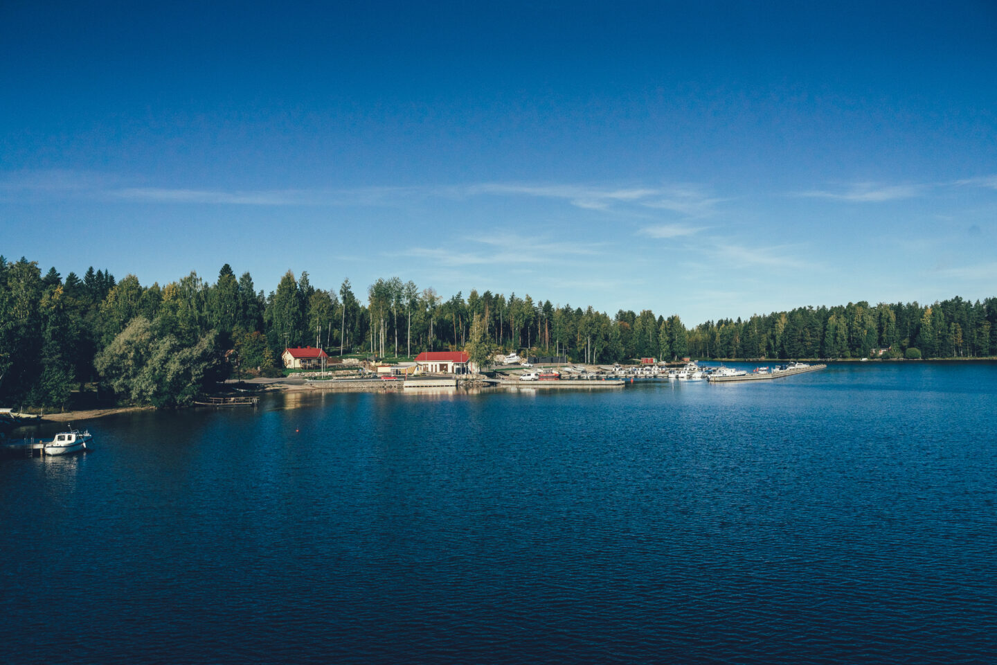
The second cycling day is calmer than the first, and the kilometres pass mainly in the shelter of the forest without many actual rest stops. From Enonkoski, it is about 38 kilometres to the harbour village of Savonranta, whose beautiful harbour offers a good lunch stop by the water, in addition to two other excellent lunch options. From Savonranta, the route continues along a remote forest road shortcut towards Kolovesi National Park. The national park is best experienced from the water, but you can still get a feel for the area by visiting one of the park’s rest areas. Käkövesi camping area is easier to reach from the main route, although technically it is outside the national park. The most typical scenery and nature of the park can be experienced at Hirviniemi camping area, but it lies 8.5 kilometres off the actual route beyond a fairly hilly section. As a rest stop, Käkövesi is much easier and quicker to reach. South of Kolovesi, there are two interesting accommodation options: Olo Center is the primary choice for many, with the accommodation offered by the Enonkoski monastery community as an alternative. Another option is to continue about 35 extra kilometres to the services of Säynämö holiday centre.
Day 3: Southern side of Kolovesi National Park – Heinävesi, 43 km and 640 m of elevation gain
The third touring day is straightforward, passing through the archipelago on the southwest side of Kolovesi National Park. The day begins on asphalt, but from Pyllinsaari onwards the route follows medium-sized gravel roads all the way to Heinävesi railway station. Säynämö holiday centre is located about 35 kilometres from the start and offers services ranging from a camping area to cabin rental. The day ends after about 43 kilometres of riding in Heinävesi, where it is worth descending to Kermanranta on Lake Kermajärvi. There you will find a guest harbour, a harbour café-restaurant and Kermanranta beach. Matkakoti Rohtorinne offers reasonably priced accommodation and is an easy choice, as alternatives are limited apart from a few Airbnb options.
Day 4: Heinävesi – Valamo Monastery, 53 km and 480 m of elevation gain
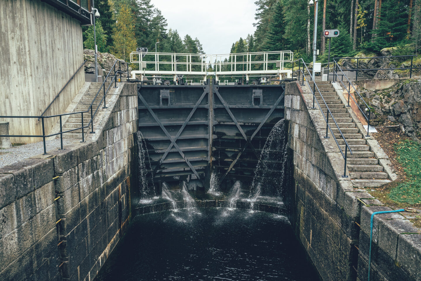
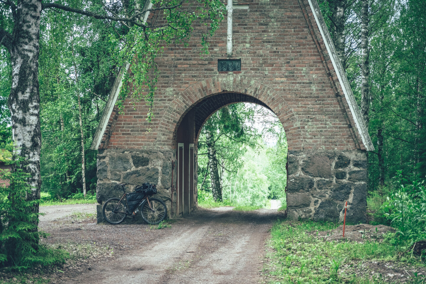
The most paved section of the route falls on Day 4, between Heinävesi and the Palokki rapids. From Heinävesi, the route follows the cycle path along the main road, makes a detour through quiet surroundings, and then joins the main road on the western side of Lake Kermajärvi, which eventually brings the rider to Karvio Canal. Karvio Canal is a service hub, with the pleasant Karvio campsite, a restaurant at the Karvio service station, a grocery store and a campfire site by the canal. S/S Heinävesi also stops at Karvio, so if you boarded the ship in Savonlinna, this is where your cycling begins.
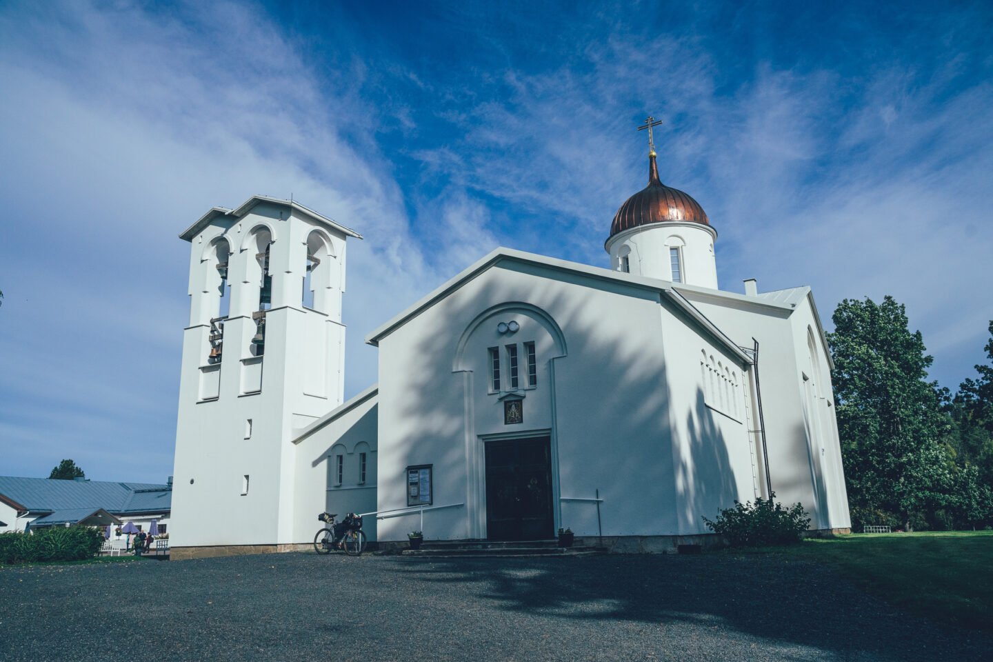
After Karvio Canal, the mostly paved route passes the impressive Varistaipale Canal and the Varistaipale Canal Museum. Before these, the route also passes Variranta, a good swimming spot on a hot summer day. The route continues to the Palokki rapids, which are important for the endangered landlocked Saimaa salmon and brown trout. In the Palokki area, Palokki Inn and Ronttopuisto with its café offer excellent overnight options. After these, another interesting destination and accommodation option is Guesthouse Antonina at Lintula Monastery. In this itinerary, however, the ride continues to Valamo Monastery, partly following the Monastery-to-Monastery hiking route. Valamo Monastery is a living centre of Orthodox faith and culture in Finland and a unique place to visit. Valamo has a restaurant, guesthouse and wine shop.
Day 5: Valamo Monastery – Kotapiha Tourism and Accommodation, 74 km and 810 m of elevation gain
From Valamo Monastery, it is about 28 kilometres to Sarvikumpu village shop, and this section includes some of the finest riding on the entire route. Grass grows in the middle of the old forest road, and the winding track keeps the riding engaging. Sarvikumpu village shop is one of the few still thriving village shops in Finland and a pleasant rest stop with picnic tables just before the halfway point of the day. From summer 2026 onwards, Sarvikumpu village shop will also offer granary accommodation for cyclists.
From Sarvikumpu, it is about 40 kilometres to Viinijärvi, where the next overnight stop, Kotapiha, is located. Along the way, the route includes some very enjoyable gravel sections and rest areas. Kaatamo shelter works well as a rest stop and rain shelter, while Atsinlampi beach is an excellent swimming spot in summer heat. Atsinlampi also has a rental sauna and camping possibilities. In this itinerary, however, the ride continues towards the next guesthouse. Before Viinijärvi, the route passes Siikakoski, where Siikakoski Mill Café and Kompero Local Heritage Museum are open in summer. Viinijärvi has a café, grocery store, railway station and swimming beach. Kotapiha itself is located slightly off the route, about 4 kilometres west of the centre of Viinijärvi.
Day 6: Kotapiha – Ollila Farm B&B, 30 km and 300 m of elevation gain
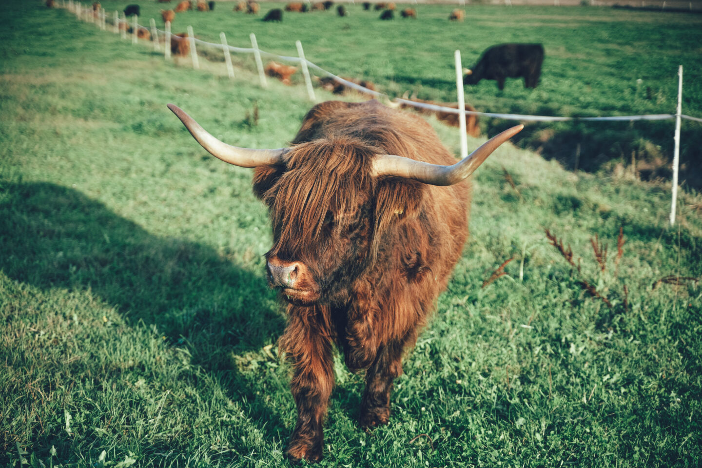
From Kotapiha to Ylämylly, the route winds roughly parallel to Highway 9 on gravel side roads and partly along the local “kinttupolut” paths of Liperi. Along the way are Hovattalampi swimming pier and Honkalampi sandy beach. Ylämylly has a grocery store, restaurant and accommodation services. The area’s leading accommodation provider, summer café and farm animal yard, Ollila Farm, is an easy choice for the night if you want to end the day shortly after Ylämylly. An alternative to Ollila Farm is Tyyni Resort, opened in 2026, located slightly off the route about 12 kilometres beyond Ollila Farm.
Day 7: Ollila Farm – Rääkkylä, 69 km and 580 m of elevation gain
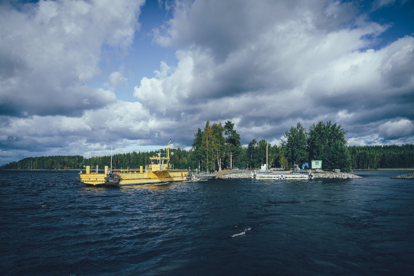
The day from Ollila Farm to Rääkkylä is one of the longer ones, dictated by the location of accommodation services. The day begins with a fine section through the field landscapes of Liperi, the traditional bread parish. Compared with the Heinävesi area, this section is flat. Liperi village centre comes quickly, with pleasant rest and lunch options, for example at the guest harbour. On the way to the Arvinsalmi ferry, the route mostly follows the main road but is spiced up by two gravel detours. The first visits Ilmo shelter, and the second visits Saariston Puoti, known for its excellent pizzas. There is also a boat connection from Saariston Puoti to Joensuu. The Nestori ferry, one of the largest ferries in Finland, operates across Arvinsalmi around the clock and carries riders to Oravisalo, one of Finland’s largest inland islands.
Oravisalo has its own cycling route network, Saaristo Trail, which can be found as a separate gravel route in the Saimaa by Cycle gravel route collection. On the North Saimaa Loop, the Saaristo Trail section includes a detour to the intriguing Eräpuisto Kuukkeli, from where it is possible to continue to Pässinniemi swimming and campfire site on the eastern shore of Oravisalo for a swim or cooking break. Salpapolku lean-to is also located in this area and is a good place for a longer break or even an overnight tent camp near the shore, right next to the Salpa Line.
In Rääkkylä, accommodation options include the excellent Koivuniemi campsite and Paksuniemi guesthouse. Paksuniemi also has a restaurant and a swimming beach near the harbour.
Day 8: Rääkkylä – Maatilamatkailu Villa Valkea, 46 km and 300 m of elevation gain
From the services of Rääkkylä, the route continues partly along larger roads towards the village of Tikkala. On the way, the route makes a detour via the interesting Venturin Kurkipuisto to the clear waters of Onkamo and Särkijärvi lakes, whose shores the route follows for a long stretch. Tikkala has a vintage shop that also operates as a café, and Tikkala beach is an excellent swimming and rest stop with a covered campfire site. The route reaches Tohmajärvi mainly on gravel roads. Tohmajärvi offers two restaurant options, two grocery stores and Café Renkitupa at the local heritage museum. The highlight of Tohmajärvi is a visit to Kirkkoniemi, where you will find Tohmajärvi Church, the Tohmajärvi swimming beach and a summer café by the beach. The day ends south of Tohmajärvi at Itärajan Helmi, one of the area’s best accommodation services for cycle travellers.
Day 9: Itärajan Helmi – Koivikko Manor, 35 km and 370 m of elevation gain
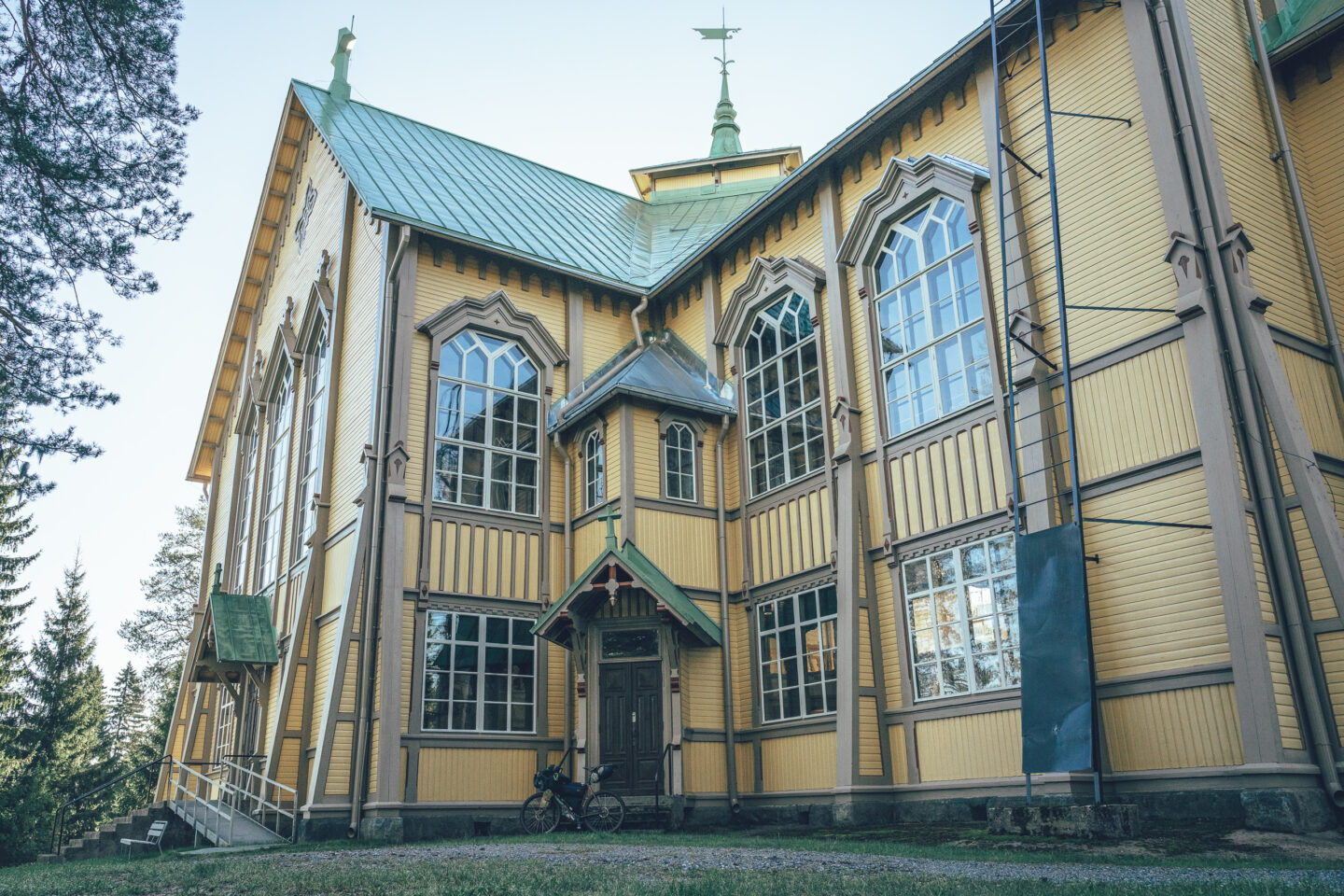
The section between Tohmajärvi and Kitee is some of the best riding on the entire loop. Small gravel roads cutting through forests and following field edges keep the ride interesting, and before reaching Kitee the route includes an approximately seven-kilometre section along the embankment roads of the Humalajoki River. Kitee offers several food options and accommodation, as well as the spirit of Finnish baseball and the landscapes associated with the band Nightwish. The Nightwish exhibition is definitely worth visiting, as is Kitee’s stone church, built in the 19th century. This relatively short day ends north of Lake Ätäskö at Koivikko Manor, which has a restaurant and guesthouse.
Day 10: Koivikko Manor – Papinniemi Camping, 73 km and 670 m of elevation gain
The day begins with a visit to the village of Puhos, which has even been selected as Finland’s Village of the Year. Beautiful gravel routes continue from Puhos in several directions, but this time the route heads south by the most direct line towards Kesälahti. If a 73-kilometre day feels too long, the best way to shorten it is to stay at Karjalan Kievari campsite about 45 kilometres from Koivikko Manor. In this itinerary, however, the day continues all the way to Uukuniemi in Parikkala and Papinniemi Camping. Along the way are the beautiful Taipale beach near Kesälahti, the old village of Totkunniemi, Tyytiinlahti shelter and the restaurant Juholan Biisoni Areena. Before Uukuniemi, there is also Uukuniemi village shop and a chance for a swim at Tokkarinlahti beach.
Day 11: Papinniemi Camping – Parikkala, 60 km and 710 m of elevation gain
The route from Papinniemi to Parikkala is one of the most remote sections of the entire loop, and it approaches the border zone several times. During the day, you will not see many cars, and you may not meet any people at all. However, several good-quality rest stops are conveniently located along the route, with the sandy beach in Saari village being especially good for camping. The route also passes Honkakylä Shop Museum, which presents shop interiors and objects from the 1940s and 1950s in an authentic old shop building. Before Parikkala, the route visits Siikalahti Nature Reserve, which has several outdoor structures, an exhibition about the area’s birdlife, and several towers and hides for birdwatching.
Day 12: Parikkala – Punkaharju, 48 km and 530 m of elevation gain
The penultimate day of the route is, for the most part, a celebration of gravel riding towards Punkaharju village and the nature reserve. The route winds from Särkisalmi to Punkaharju deep in the forest, with a few shelters and lean-tos along the way offering cover for lunch or just a rest.
After the services of Punkaharju village, one of Finland’s most beautiful route sections begins, first along the old Punkaharju road and then along the outdoor trails of Punkaharju Nature Reserve. The area has several beautiful rest stops and beaches, and the route often runs close to the shore with wide views over the horizon of Lake Puruvesi. Harjun Portti resort is an excellent overnight stop, offering several accommodation options as well as a lakeside sauna area with three different saunas on the shore of Puruvesi.
Day 13: Punkaharju – Savonlinna, 33 km and 500 m of elevation gain
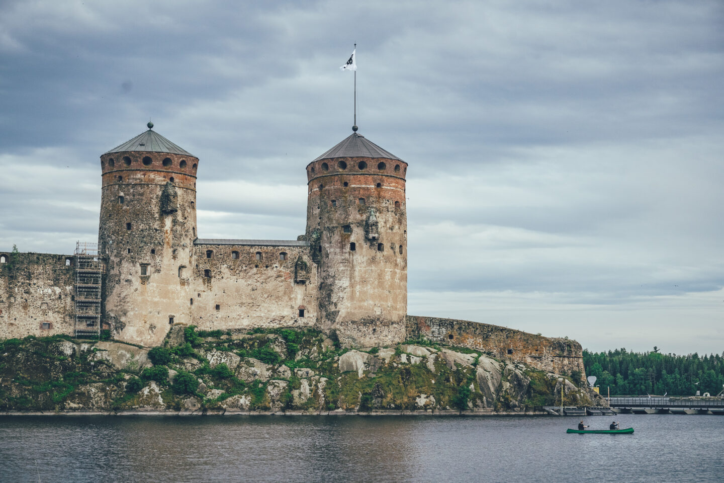
The final day of the journey is relatively short and straightforward. Most of the day follows paved side roads towards Savonlinna, offering an efficient approach to the city. The arrival in Savonlinna is impressive via the Kyrönsalmi railway bridge, with views opening towards Olavinlinna Castle and the waterfront promenade.