


Saimaa by Cycle Bikepacking: Heinävesi Loop
 221 km
 2-4 days
 2435m
2435m 160m
160m 57 %
57 % 1 %
1 % 2
2 99.5 %
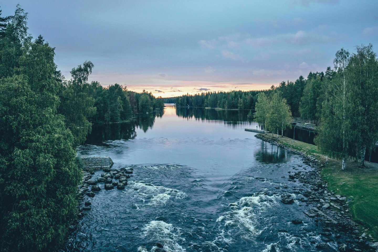
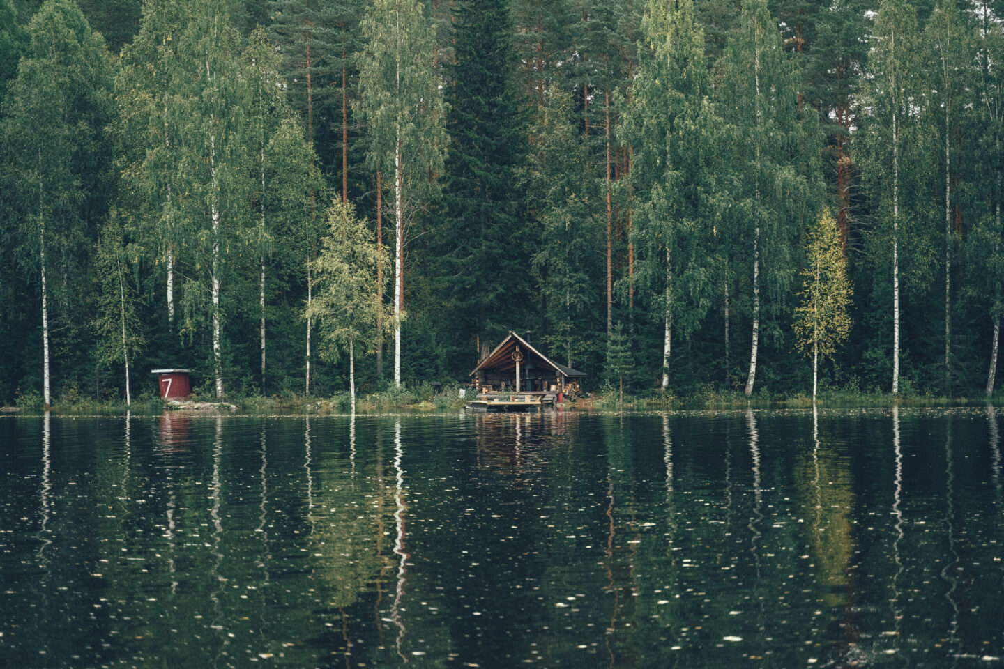
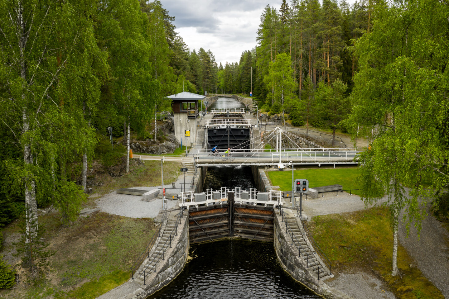
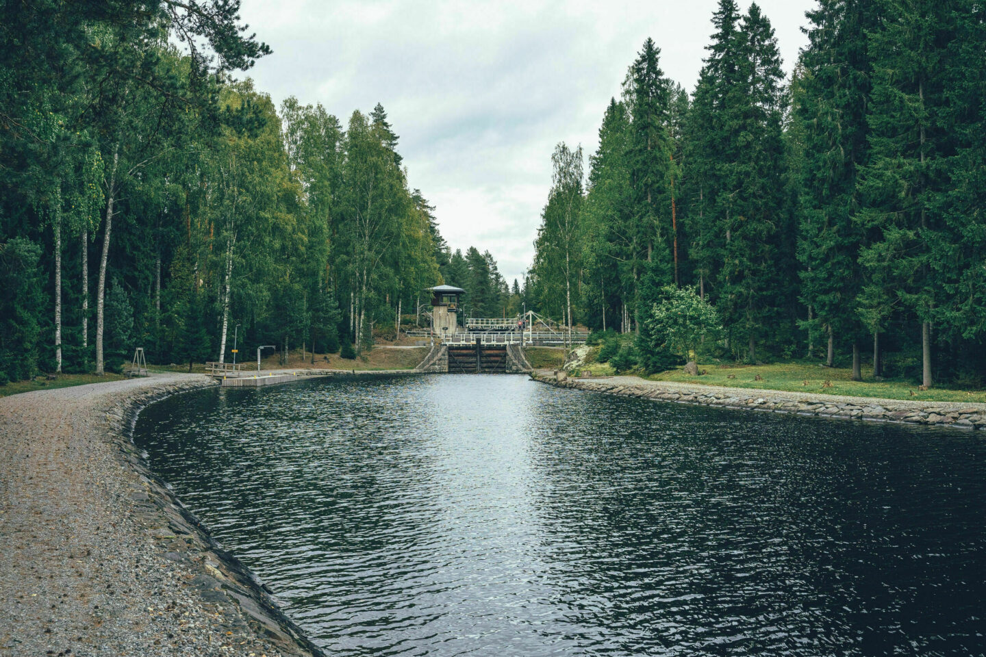
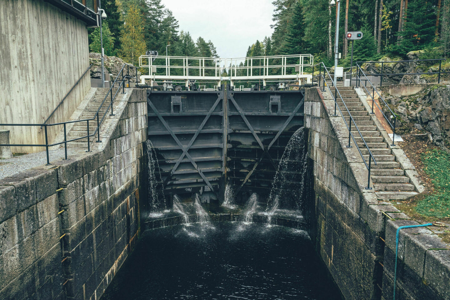
The canals of the Heinävesi area, including Varistaipale, Kerma, Karvio and Taivallahti, have historically been important waterways connecting different parts of the Saimaa lake system for industrial needs. Before the development of the road and railway network, the canals were used especially for transporting timber and sawn wood, but also for goods such as milk and grain. Today, the canals are mainly used for recreational boating and tourism. For cyclists, they offer interesting rest stops and a window into the area’s history.
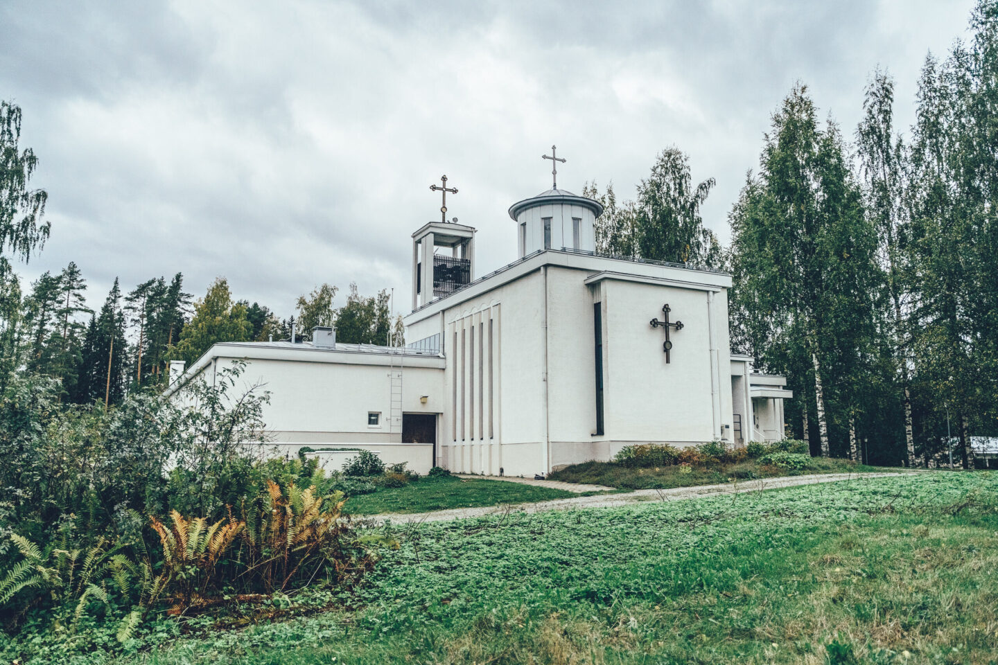
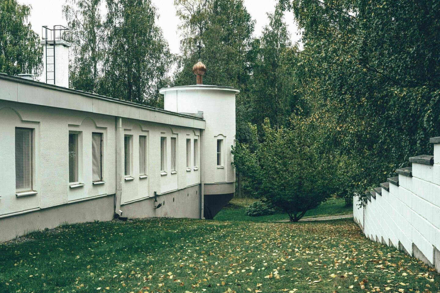
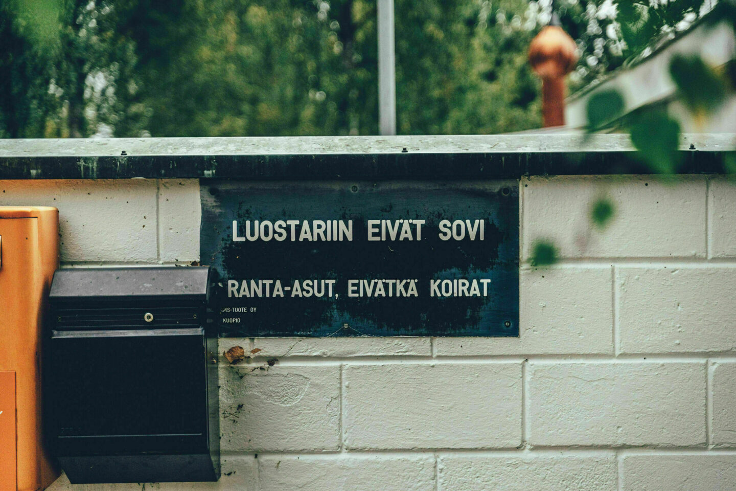
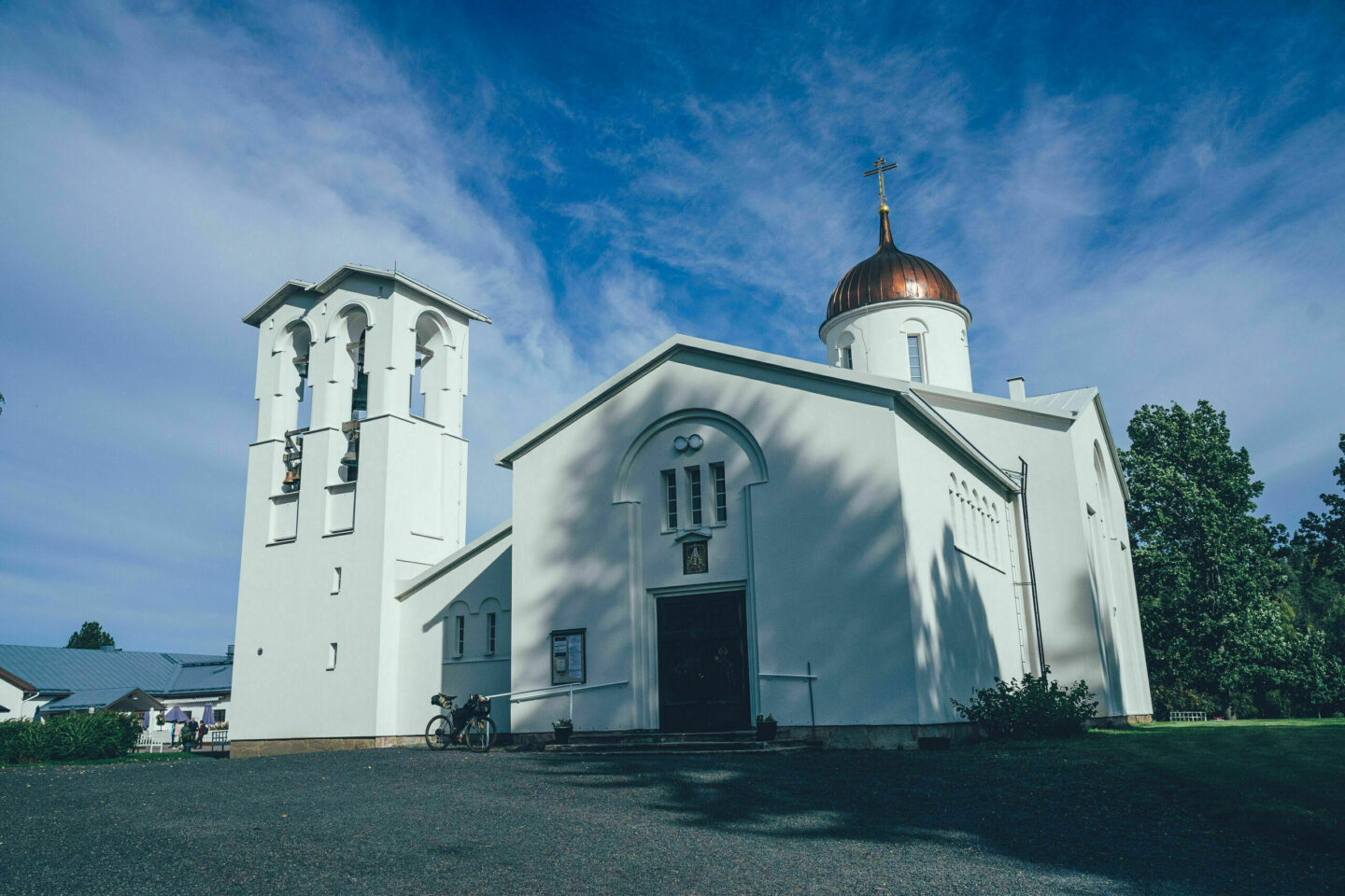
In addition to the canals, the northern part of the Heinävesi Gravel Loop is shaped by the Valamo and Lintula monasteries. Valamo Monastery is Finland’s only Orthodox monastery for monks, known for its peaceful atmosphere, icon art and wine production. The monastery also offers accommodation, meals and cultural programmes such as exhibitions and courses — a true oasis of silence in the middle of the lake landscape. Lintula Monastery, located about 18 kilometres from Valamo, is the only Orthodox convent in the Nordic countries. It is known for its peaceful atmosphere, candles, herb gardens and spiritual literature. The nuns live according to a rhythm of prayer and work, and in summer visitors are welcome to explore the monastery church and garden. Lintula Monastery also has a summer café. In its own unique way, Lintula complements the sense of retreat, culture and contemplation offered by Valamo.
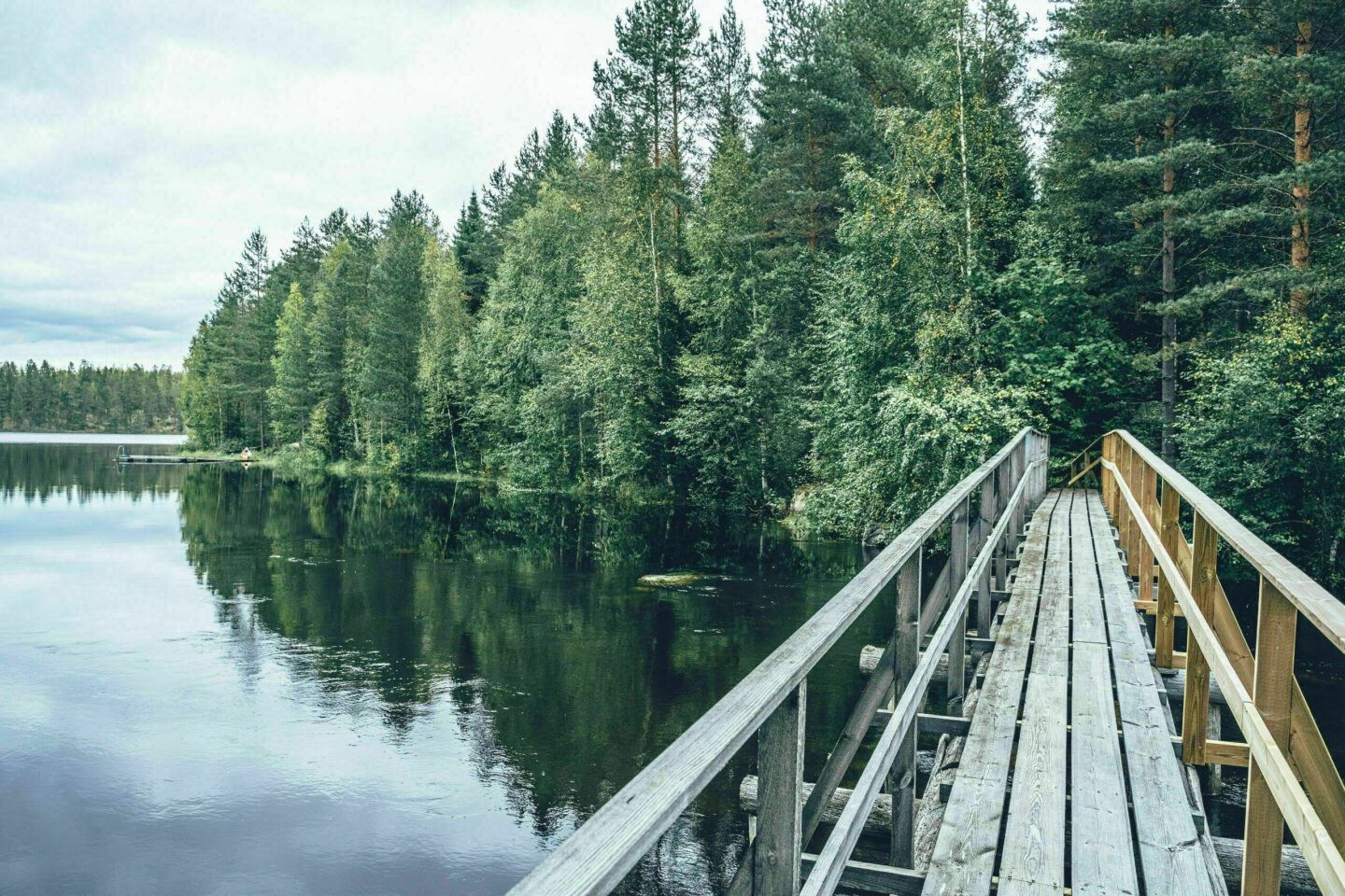
From the monasteries, the journey continues along quiet gravel roads and rural landscapes towards Savonranta. The first stop is the traditional Sarvikumpu village shop, an atmospheric village hub where you can stock up on food or stop for coffee. The granary accommodation opened next to the shop also offers an overnight option in an idyllic farmyard setting. Just a stone’s throw from the route is Lammun Lumo, which offers interesting accommodation options in a rural setting. Also close to the route is the old Vihtari railway station, which works as an alternative access point or exit point for cyclists, making it easy to ride the route in two sections.
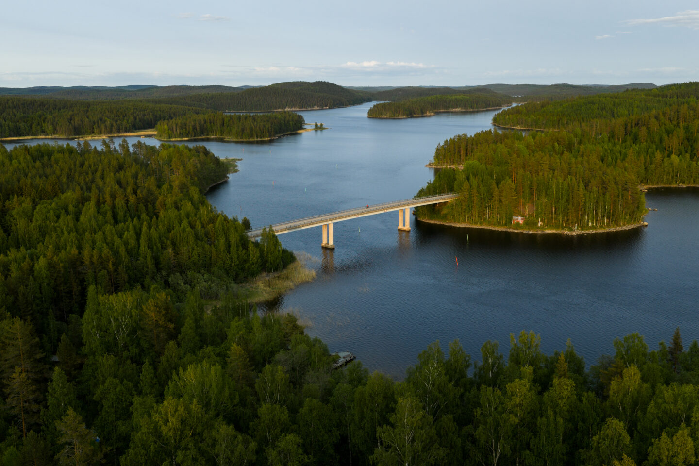
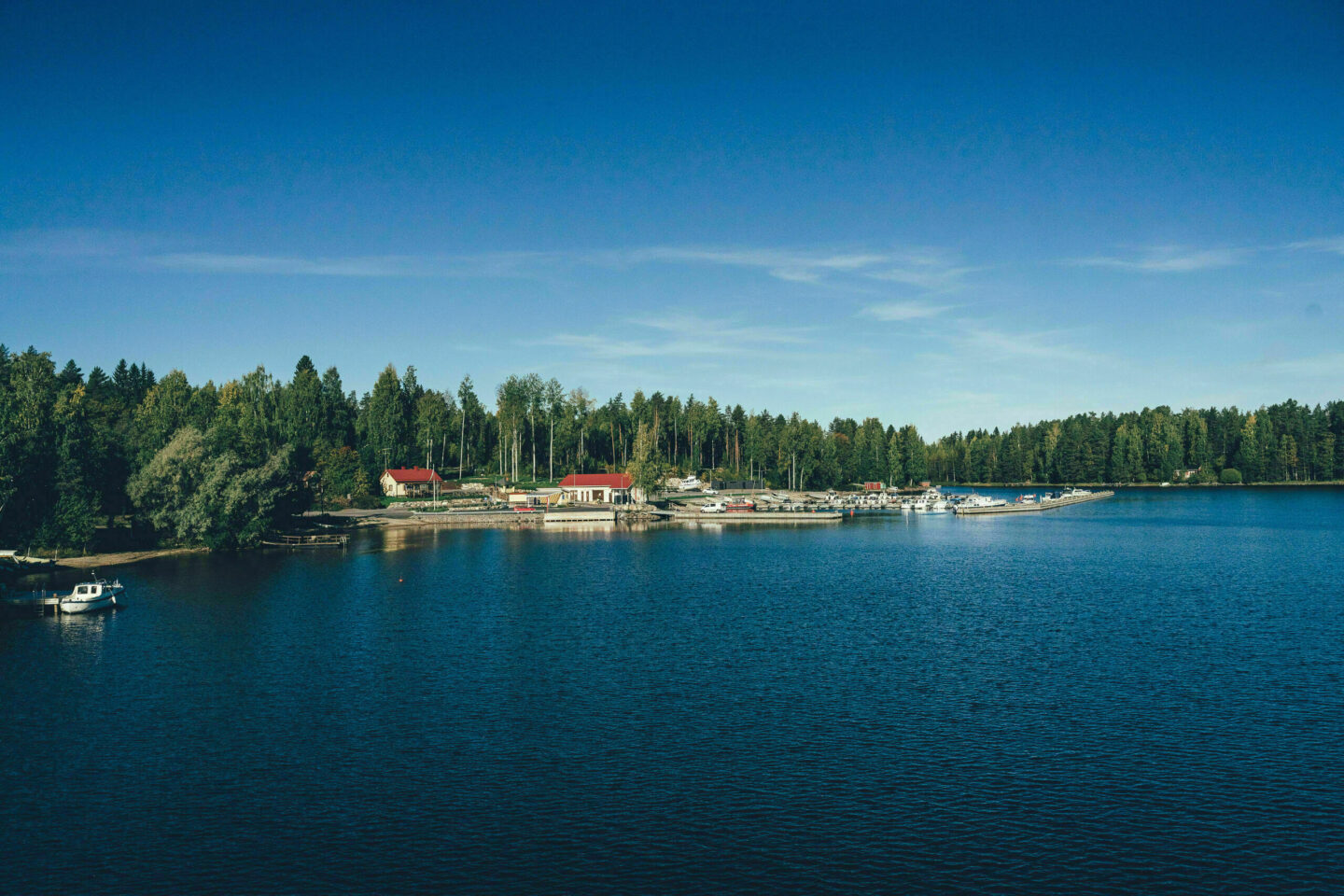
The southeasternmost point of the route is the village of Savonranta, located on the shore of the clear waters of Lake Pihlajavesi. In addition to its village atmosphere, Savonranta offers restaurant services, a grocery store and an idyllic harbour area, where you will find Restaurant Vuokala and the services of Vuokala Camping. From Savonranta, the route heads towards Kolovesi National Park, which enchants visitors with its rugged rocky shores, quiet forests and the home waters of the Saimaa ringed seal. The best camping and rest stop in the national park is Hirviniemi tent site, which offers a peaceful lakeside camp in the heart of the national park. Between Savonranta and Heinävesi, it is also possible to stay comfortably indoors. Good options include Olo Center, which offers a peaceful atmosphere in the middle of nature, or, a little further along the route, Säynämö Holiday Centre, located by a beautiful lake.
Arriving at the route with a bike is easy thanks to the railway stations in Heinävesi and Vihtari. The train to Heinävesi from the directions of Joensuu and Pieksämäki runs twice a day, and bikes do not need to be booked in advance. Both Joensuu and Pieksämäki have excellent train connections from Helsinki, making the Heinävesi Gravel Loop very easy to reach, even though the route lies deep in the heart of northern Saimaa.
The route is suitable both for fitter riders and for those who prefer shorter daily distances, thanks to the well-spaced services along the way. It is also possible to ride the route without a tent, staying only in guesthouses, as long as accommodation is booked well in advance to avoid surprises. More information about the route, as well as ideas for daily distances and pacing, can be found in the Trail Notes.


- The peaceful atmosphere and services of Valamo and Lintula monasteries.
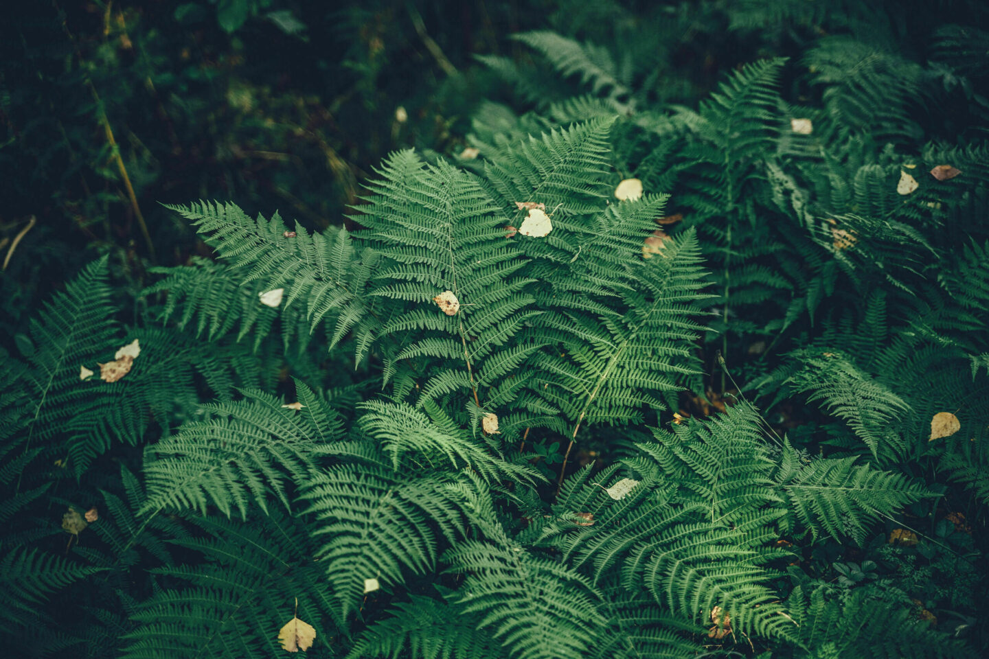
- The rugged lakeside cliffs and glacial channels of Kolovesi National Park, where lucky visitors may even spot a Saimaa ringed seal swimming.
- The canals of Karvio, Taivallahti and Varistaipale, all still in active use.
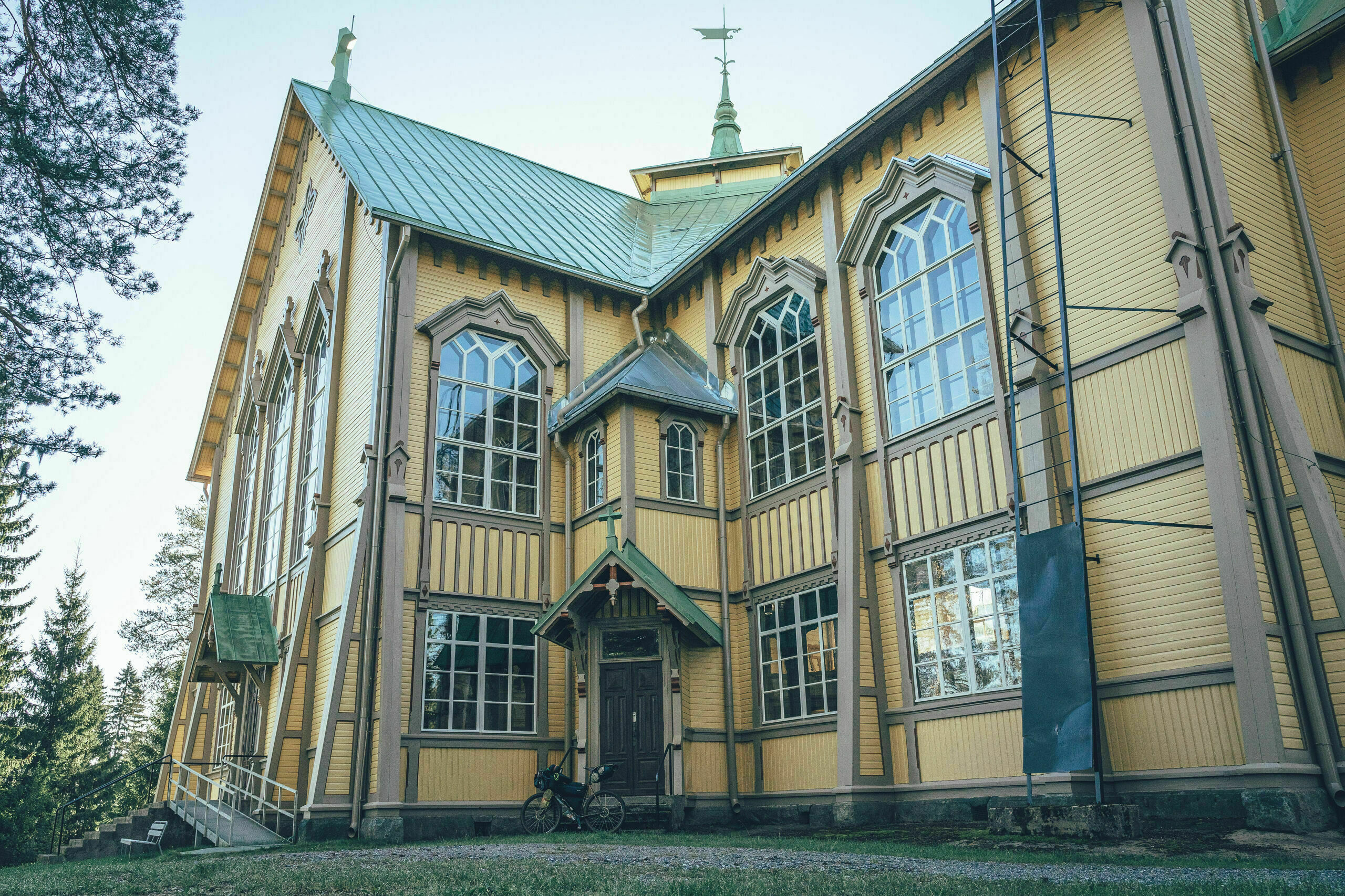
- Heinävesi village centre — a charming rural village surrounded by canals, eskers and lakes, where you can enjoy a summer café, visit the wooden church and end the route in a historic setting.
- Sarvikumpu village shop, one of the last lively village shops in Eastern Finland.
- Sarvikumpu village shop, one of the last lively village shops in Eastern Finland.
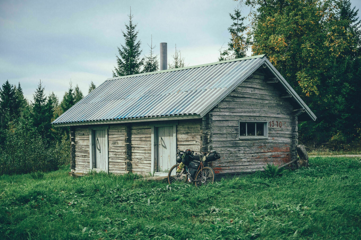
- High-quality and distinctive accommodation options along the route, such as Ronttopuisto, Palokki Guesthouse, Valamo Monastery and Lammun Lumo.
- The route can be ridden with any bike as long as the tyre width is at least 40 mm. Surface quality varies from smooth gravel to occasional rougher sections, so extra tyre volume is certainly not a disadvantage. A larger tyre will increase comfort.
- The best time for bicycle touring in North Karelia is generally from late May to the end of September. Daytime temperatures are usually around 12–20°C in early and late summer, and between 15–25°C during the main summer months.
- Water points are far apart along the route, so during summer heat you should be prepared to carry enough water for a full day of riding between guesthouses. The services along the route function as water points. The longest section without water is approximately 60 km from Sarvikumpu village shop to Savonranta. If camping, be prepared to purify water from lakes.
- When choosing a sleeping bag, it is good to assume that at least in early and late summer, night temperatures may drop well below 10°C.
- The route has digital navigation only. Read the tips for navigating digital routes in Finnish here. Bikepacking.com’s instructions and tips for successful route navigation can be found here and here.
- Always stay on the guided route and try to use only the camping and rest spots recommended in the route description. Also follow Metsähallitus’ Outdoor Etiquette and Suomen Latu’s Mountain Biker’s Etiquette.
- Mobile phone coverage extends across the entire route area. In an emergency, you can always call 112 or use the 112 Suomi app.
- It is possible to ride the route without camping equipment at the daily pace described in the Trail Notes, as long as guesthouse stays are booked in advance.
- Accommodation prices vary from affordable to moderate, and the accommodation options generally offer excellent value for money.
- Camping is permitted and free of charge at all tent sites marked on the map, unless the site is a paid campsite with services. The paid campsites along the route are located in Karvio and Savonranta.
- Drinking water is not available at the recommended tent sites, with the exception of Karvio campsite and Vuokala Camping in Savonranta. Carry water for the night from the previous water point, although this requires fairly large water-carrying capacity. If the tent site is located by a lake, water for general use can usually also be purified from lake water.
- Firewood and dry toilets are available only at some rest and overnight sites.
- There are also occasional Airbnb accommodation options along the route.
- At lean-tos and campfire huts, remember that open fires are strictly prohibited during a forest fire warning. Information about regional forest fire warnings can be found here.
- Restaurants and cafés are available only in Heinävesi, at the canals and monasteries, and in Savonranta. This means that, after the first riding day, there are few places to eat along the route apart from the services in Savonranta.
- Grocery stores are available at regular intervals along the route: in Karvio, Sarvikumpu and Savonranta. There is no need to carry more than a generous day’s worth of food. The longest section without a shop is the final 70 km from Savonranta back to Heinävesi.
- Water points are far apart along the route, so during summer heat you should be prepared to carry enough water for a full day of riding between guesthouses. The services along the route function as water points. The longest section without water is approximately 60 km from Sarvikumpu village shop to Savonranta. If camping, be prepared to purify water from lakes.
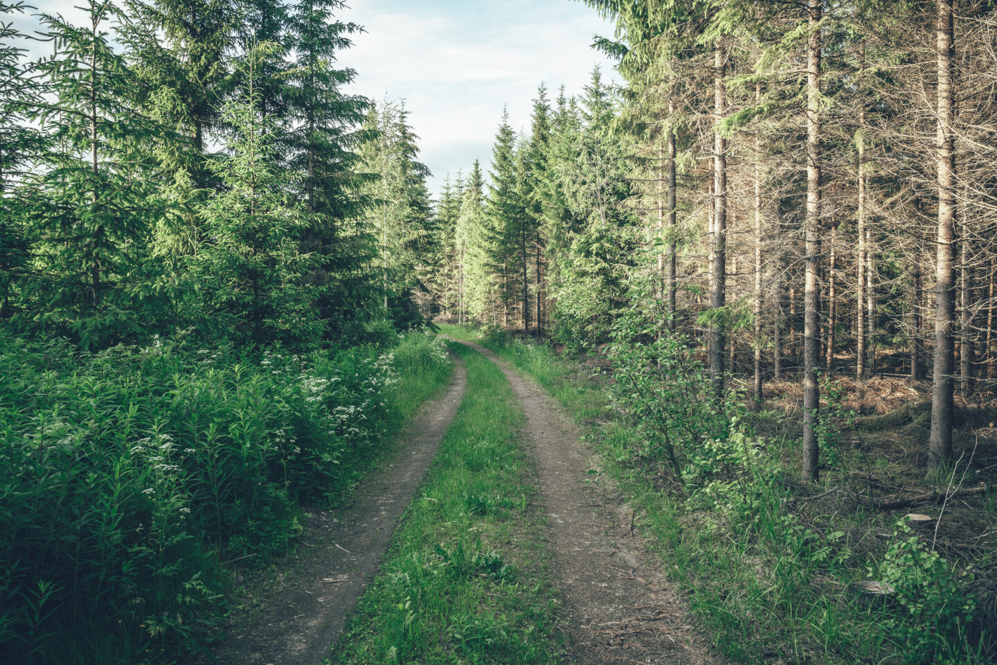
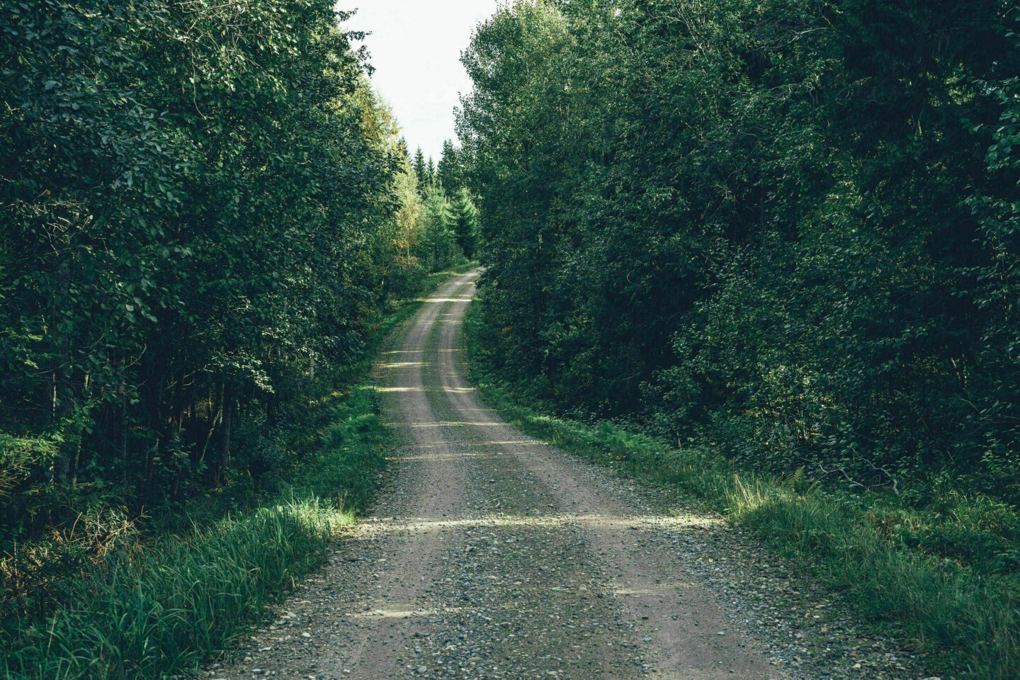
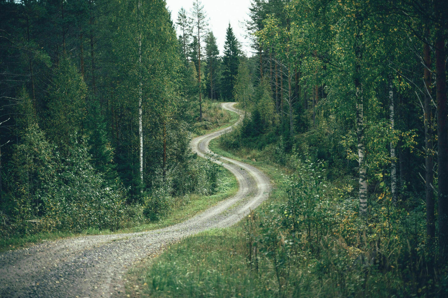
- The route mostly follows easy and relatively smooth gravel roads, with very little extremely rough gravel or soft road surface. It is worth noting, however, that most gravel roads are maintained — meaning graded — in May and June, after which the surface may be soft for a few days to a week.
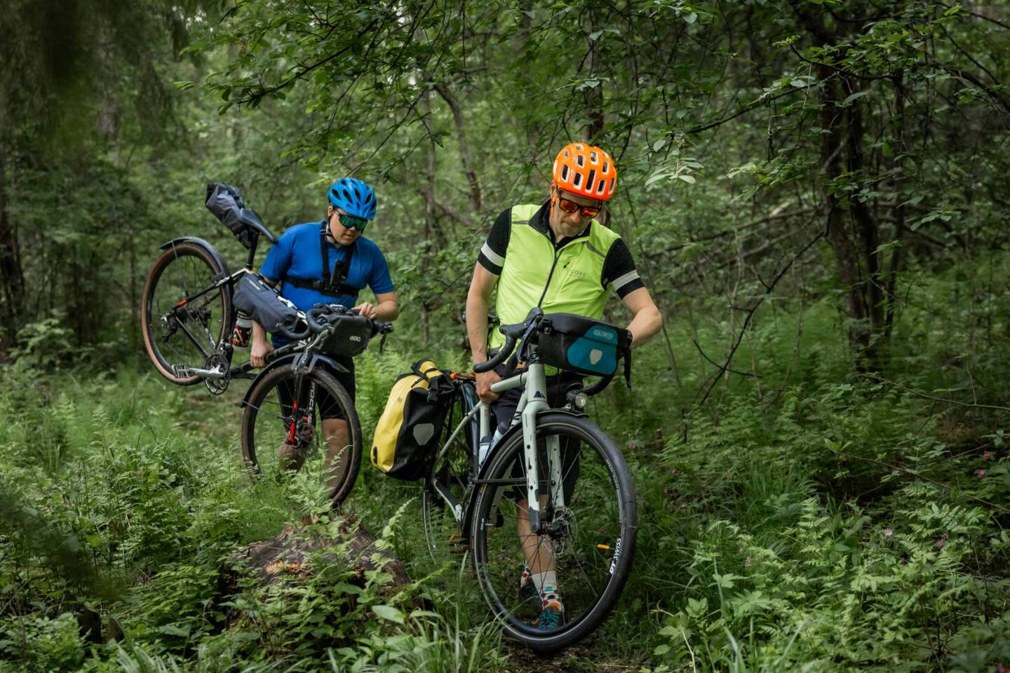
- The only trail sections on the route are located between Valamo and Lintula monasteries. They are due to be improved during summer 2025, after which they should be fairly easy to ride with a gravel bike. The total length of these sections is just under one kilometre. Paved roads, gravel and forest roads, and easy trails are shown on the map with different colour codes, so it is easy to get an overview of the route type simply by looking at the route map. Read more about the route map’s difficulty classification here.
- Heinävesi is known as one of the hilliest municipalities in Finland, but the chosen route line keeps the amount of climbing partly under control. The route includes roughly 1,000 metres of climbing per 100 kilometres, which is fairly typical by Finnish standards. Some of the hills are relatively steep, so low gears are useful. The physical difficulty of the route can be managed by choosing a daily plan that suits your own fitness and that of your group. Services are well spaced along the route, and it is possible to ride from one overnight stop to the next at quite a relaxed pace.
- In terms of camping and logistics, the route is fairly easy, as food services and accommodation options are spaced conveniently along the way. The biggest challenge is making sure you carry enough water, as the longest distance between water points is up to 60 km. In summer heat, this may mean carrying as much as three litres of water.
- The route’s technical difficulty is 2/5, physical difficulty 3/5 and logistical/camping difficulty 3/5. Overall, the route difficulty is 3/5.
- Bike touring is often more enjoyable with lighter equipment, and that also applies to this route because of the moderate amount of climbing. Bikepacking bags are always a lighter and more aerodynamic option than traditional racks and panniers, but any setup will work as long as the bike has low enough gears — especially if daily distances are chosen according to your fitness level. The recommended minimum tyre width is 35 mm, but a larger tyre will add comfort and is unlikely to slow you down significantly.
- Arriving at the route with a bike is easy thanks to the Pieksämäki–Joensuu railway line, which serves the railway stations of Heinävesi and Vihtari. Note, however, that the connection runs only twice a day in each direction. Fortunately, bikes do not need to be booked in advance.
- The train journey from Joensuu to Heinävesi takes about one hour, and from Pieksämäki only a few minutes longer. From Helsinki, the route is usually slightly faster to reach via Pieksämäki, but arriving via Joensuu also works well.
- The Varkaus–Heinävesi–Vihtari–Joensuu bus connection runs once a day, so there is also a third workable daily connection. However, bike space cannot be reserved, and bikes are accepted only if there is room in the luggage compartment. To make sure your bike can be carried, it is best to contact the operator in advance.
Day 1: Heinävesi – Valamo Monastery
54 km / 480 m elevation gain
The Heinävesi Gravel Loop starts from the services of Heinävesi village centre and heads quite directly towards the northern canals and monasteries. The route to Karvio Canal is mostly paved, apart from an 8 km section of old Varkaus–Joensuu road alignment, which is gravel. In Karvio, you will find Karvio campsite, a grocery store and the old single-lock canal itself.
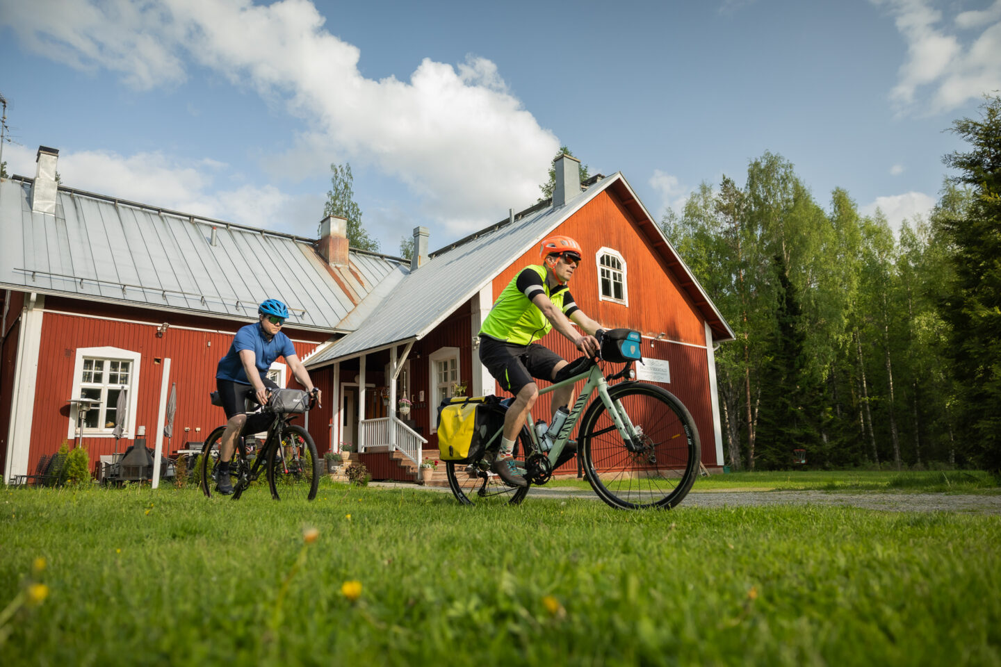
Before the section following the hiking route between Lintula and Valamo, the route passes Ronttopuisto and Palokki Guesthouse. Ronttopuisto has a summer café as well as cabin and sauna rental, while Palokki Guesthouse offers accommodation in a traditional old school setting. A fairly wide trail starts directly from the yard of Palokki Guesthouse and continues for about 500 metres to the old farmyard and summer café of Lintula Monastery.
The route connecting Lintula and Valamo monasteries is around 15 km in total. About half of it follows small roads and trails, while the other half follows minor paved roads. Between the monasteries, Taivaskota is an excellent rest stop, with a large campfire hut and dry toilets.
Valamo Monastery offers accommodation, a restaurant and a shop for the Valamo winery and distillery.
Day 2: Valamo Monastery – Lammun Lumo
51 km / 530 m elevation gain
From Valamo Monastery, the route continues along peaceful gravel roads to Sarvikumpu village shop, about 29 km away. If you are planning to have lunch from the shop’s offerings, check the opening hours in advance.
After the village shop visit, the route continues for a while on remote forest roads before a roughly 10 km paved section leading to the versatile services of Lammun Lumo. Affordable accommodation options range from a granary to cabins and a sauna chamber — with morning porridge included. Lammun Lumo also has a rural museum, a miniature railway and a honey farm.
Day 3: Lammun Lumo – Olo Center
79 km / 800 m elevation gain
The third riding day starts from Lammun Lumo with a short section on a main road, after which the route slips onto charming small roads towards Harjujärvi, where there are two lean-tos and a swimming beach. The remaining distance to Savonranta, about 28 km, alternates between larger roads and smaller gravel roads heading in the same direction. The charming archipelago village of Savonranta, with its guest harbour, restaurants and grocery store, is an excellent place for a break. Most of the final 29 km of the day are paved, but mainly traffic-free roads that follow the lakeshores of the Savonranta area.
This section also offers the option of making a detour into Kolovesi National Park in search of the Saimaa ringed seal. The waters and steep rocky shores of Kolovesi National Park are best experienced from the water, but a detour to Hirviniemi tent site along a recently built gravel path gives a taste of what this unique national park has to offer. Note, however, that the turn-off to Hirviniemi tent site is not on the main route. The junction is located along the paved road in the area, and the visit adds 9 km and about 140 metres of climbing to the day.
If a visit to Kolovesi National Park does not fit into the day’s schedule, Käkövesi tent site, with its campfire spots, is a pleasant rest stop towards the end of the day and fairly close to the route. The rest stop is outside the national park but located on the same lake as Hirviniemi tent site.
From Savonranta to Olo Center’s accommodation services, the distance is 29 km in total, or about 38 km with the Kolovesi National Park visit. Olo Center also offers dinner and breakfast by advance reservation.
Day 4: Olo Center – Heinävesi
42 km / 620 m elevation gain
The final riding day back to Heinävesi is calm and efficient. Before arriving in Heinävesi, the route passes Heinävesi railway station and the tree species park, to mention the main points of interest. Restaurant Kermacotta in Heinävesi harbour is an excellent place to finish the journey.