


Challenge of Six Peaks
57 km
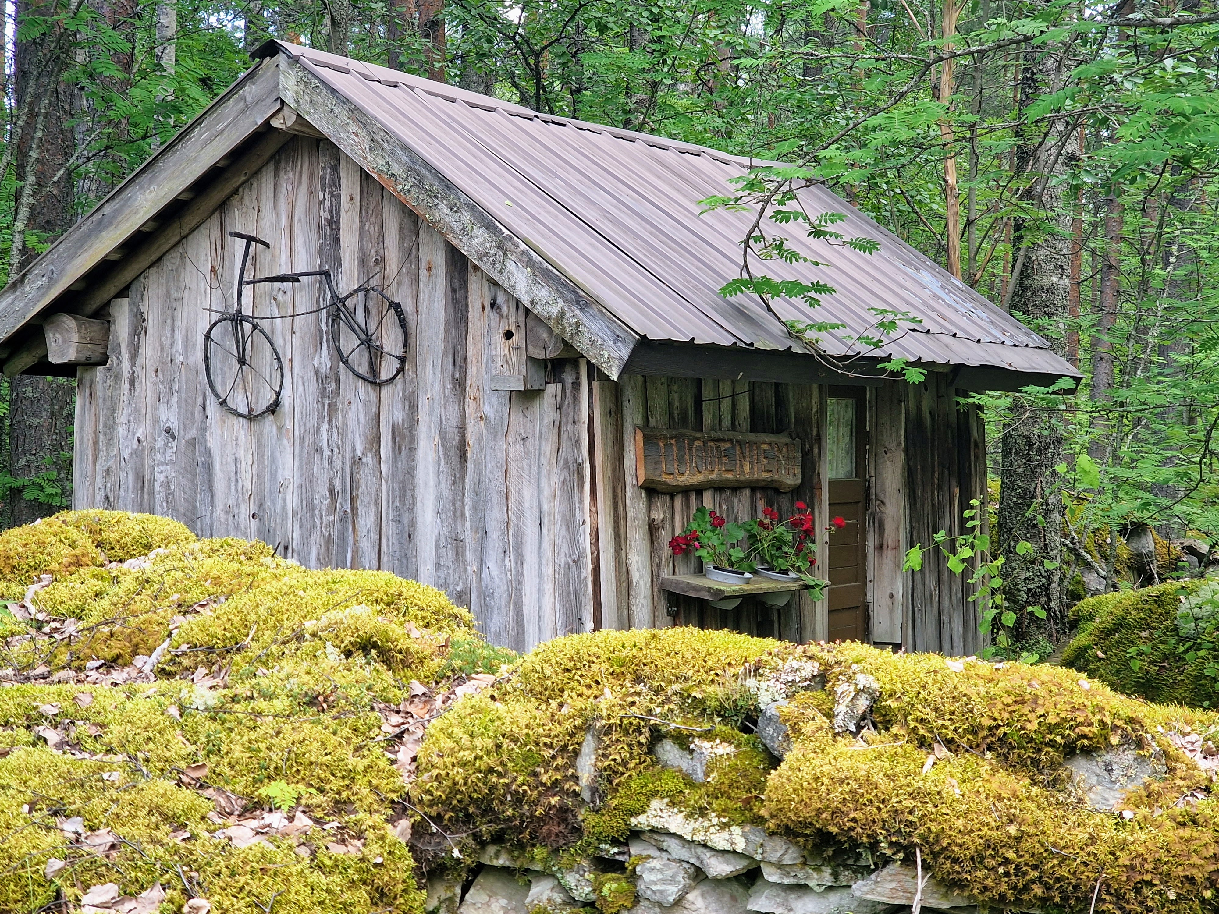
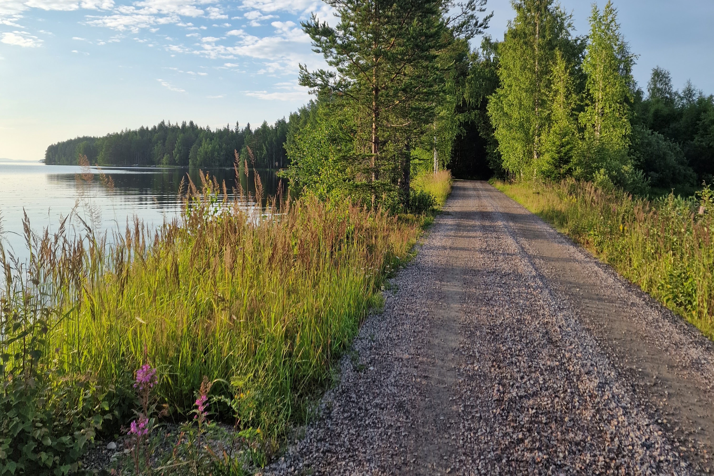
Lieksa
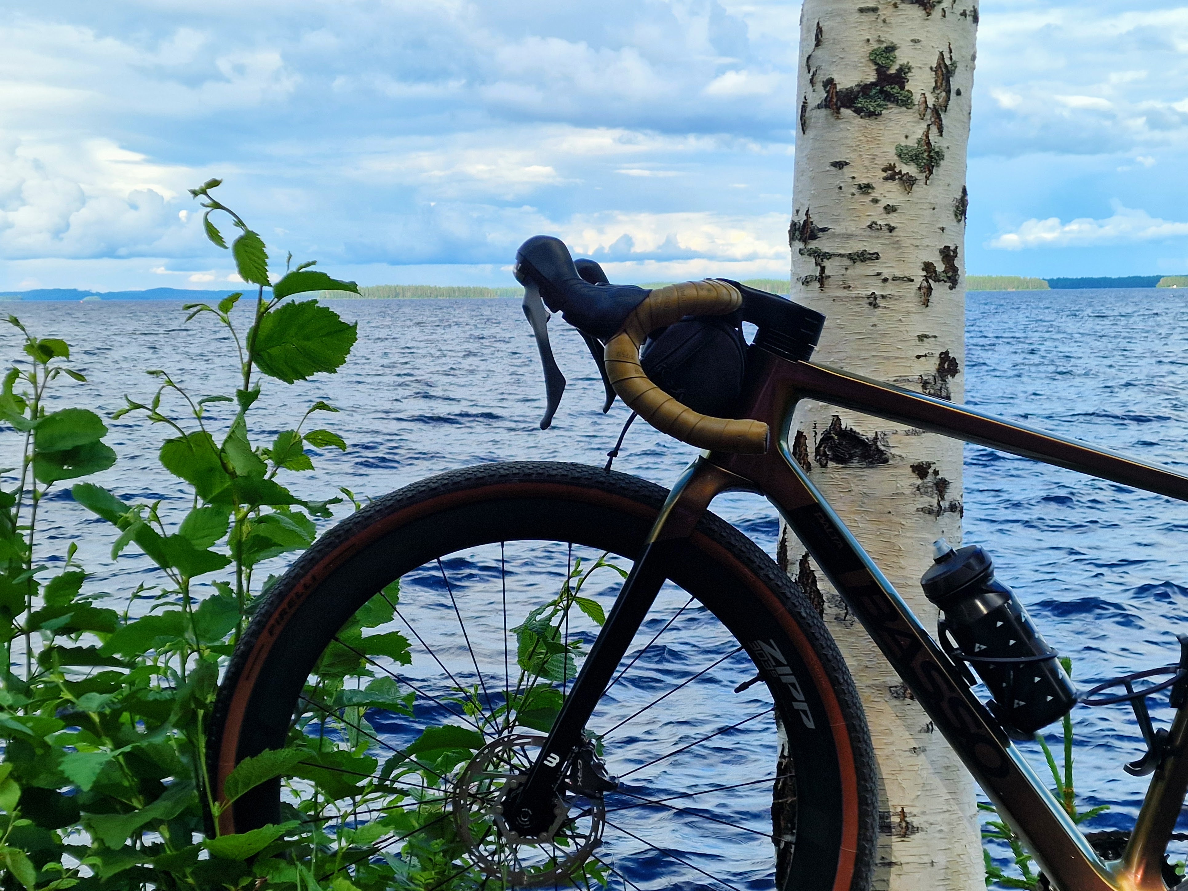
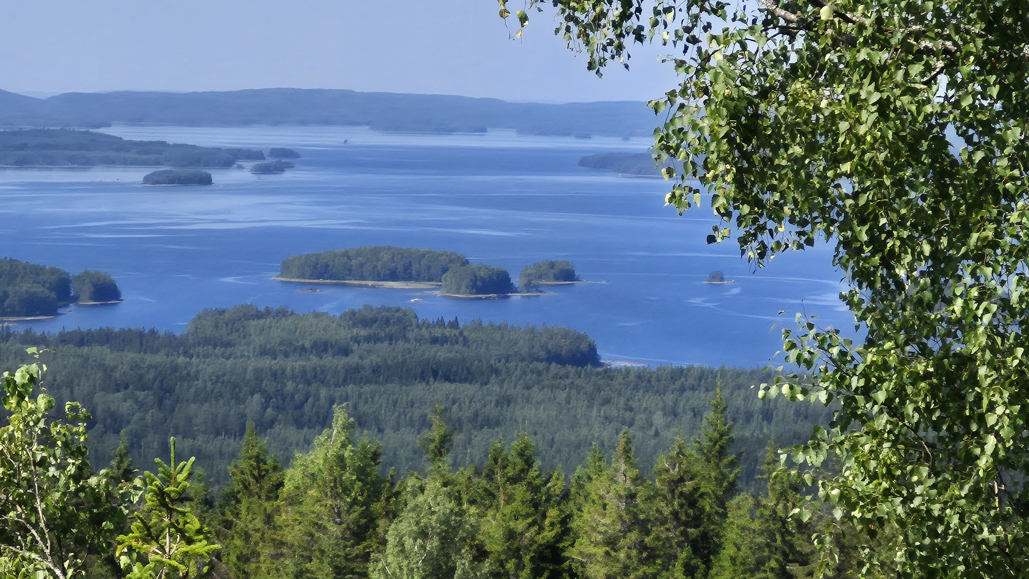
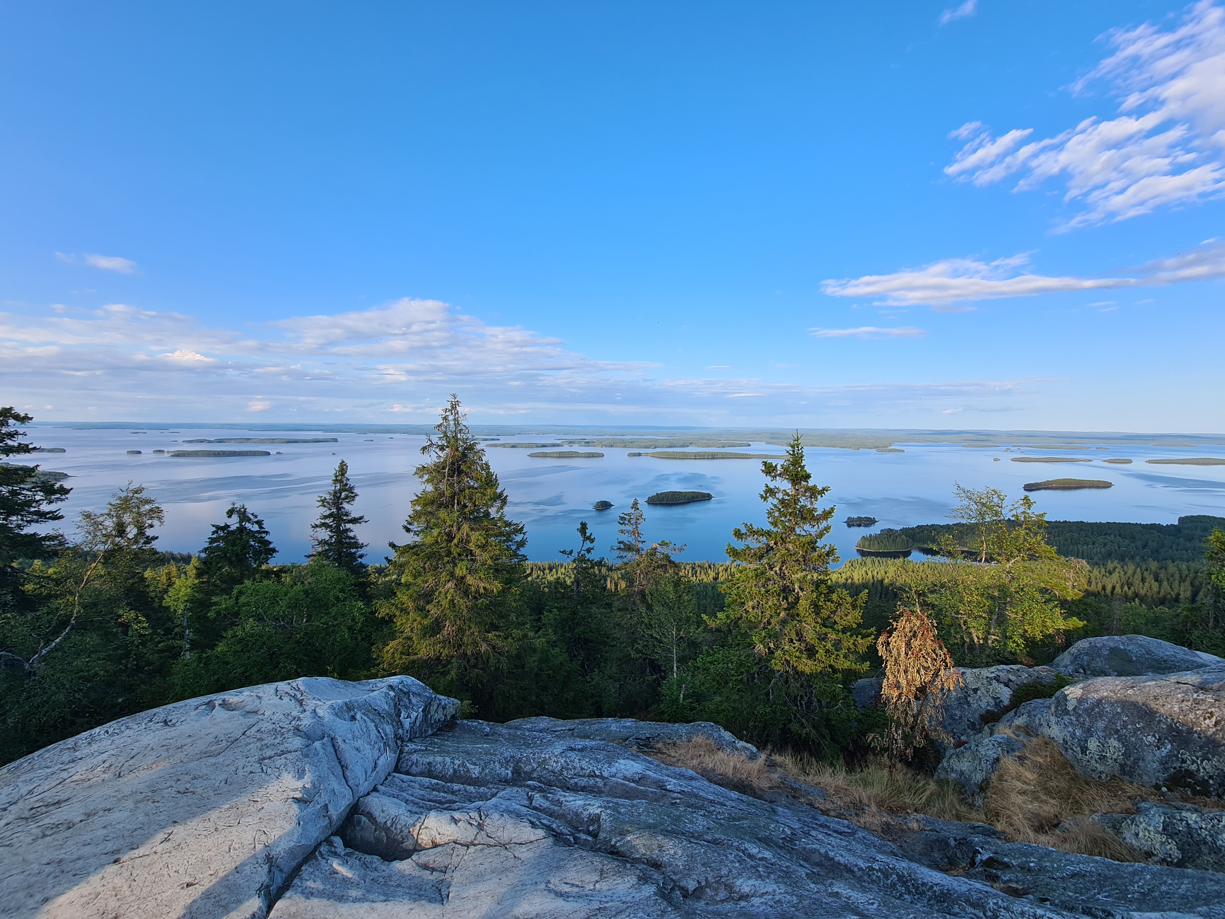
The Challenge of Six Peaks offers a mighty dose of North Karelia's rugged wilderness and a substantial physical test. The unique features of Mythical Finland will be felt both in your muscles and in your soul.
The climbing metres accumulated and the sweat shed on the route will reward you with the very same views that have inspired Finland's most renowned artists. The journey culminates at Ylä-Koli, the iconic national landscape. The Six Fells Challenge is a journey where you will experience the comprehensive, majestic perspective of nature in its purest form.

Distance
57 km
% Unpaved
80 %
Duration
3-5 hours
% Singletrack
3 %
Total ascent
1181m
Difficulty (1-10)
4
Highest point
308m
% Rideable
99.5 %- Best Season: May-October, optimal during June-August
- Recommended Bike/Tire Size: Gravel or mountain bike, recommended tire size 40 mm
- Navigation: Digital route guidance with GPX track
- Network Coverage: Good mobile network coverage throughout the route - emergency calls to 112 or via 112 app work everywhere
- Staying on Route: Always stay on marked routes and use only designated rest stops along the route
- Outdoor Ethics: Follow Metsähallitus Outdoor Ethics guidelines
- National Park: Part of the route runs through national park area.
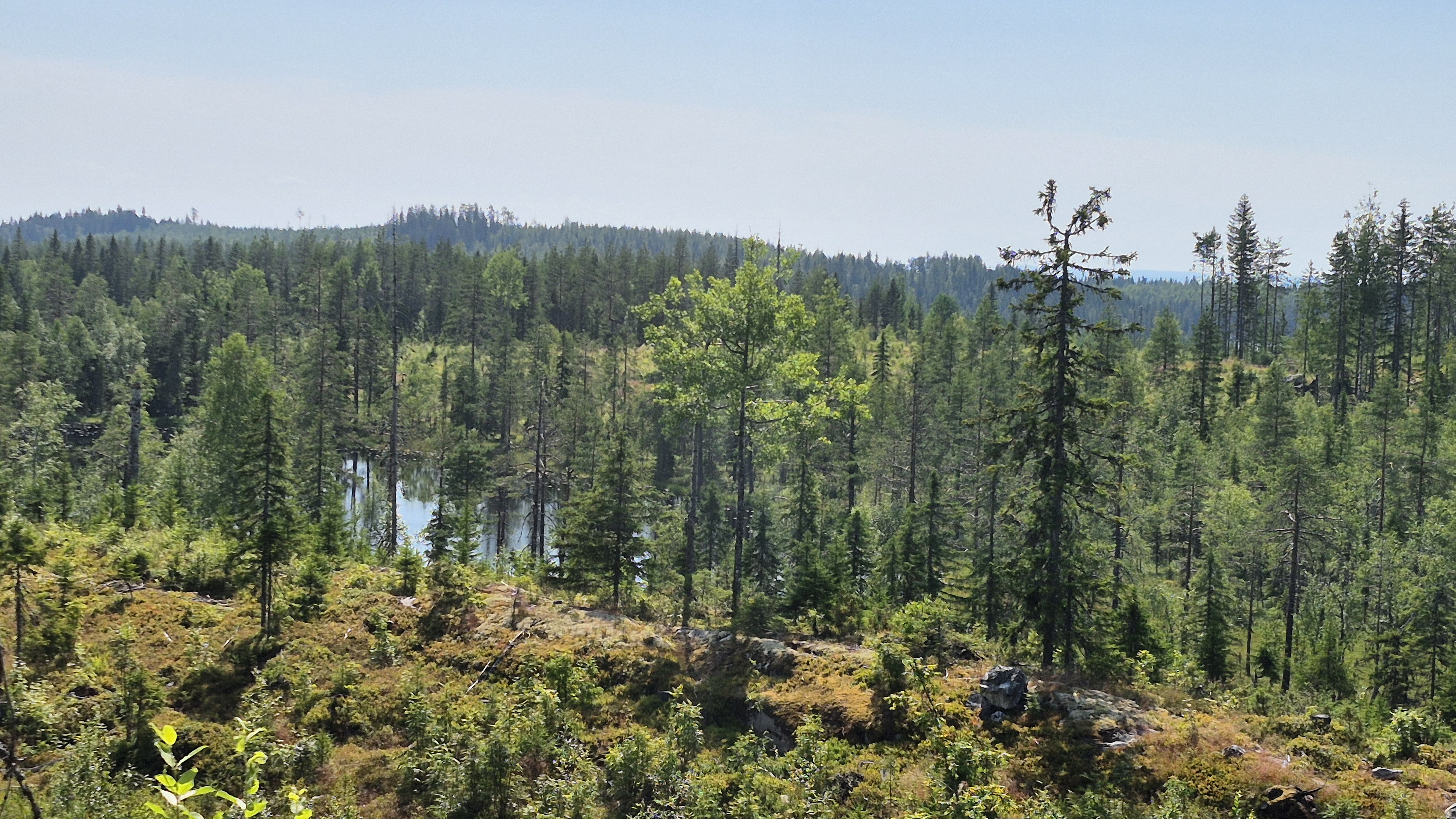
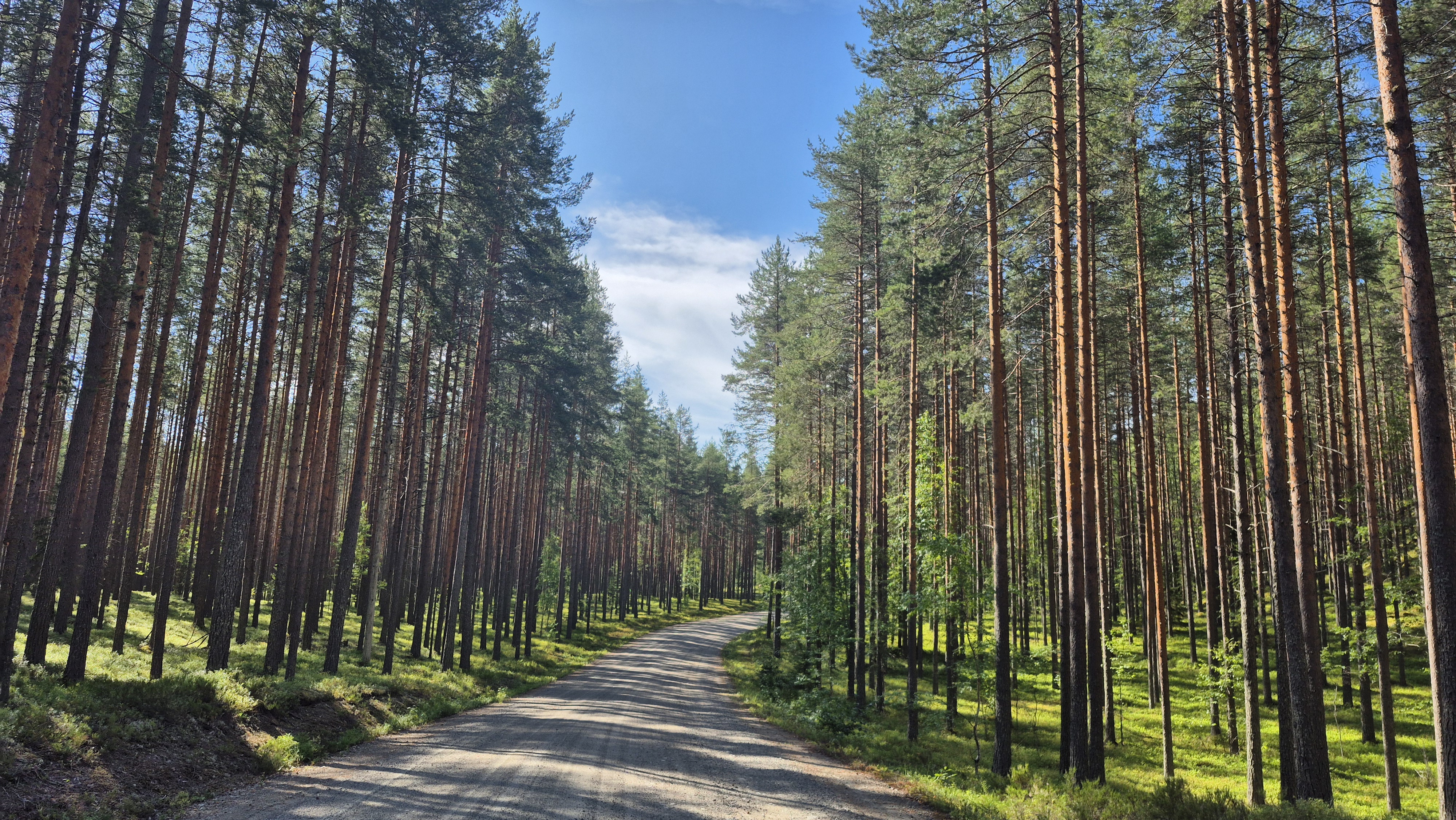
The route has been specifically curated to include fell climbs, so prepare to enjoy uphill cycling. The total ascent on the route is ca. 1180 metres. The gravel surfaces are generally in good condition, although heavy rainfalls may have caused occasional potholes and washout grooves in places. Pay special attention to the following points on the route:
• The climb to Jänisvaara proceeds along a forest track with a good surface, but especially after mid-summer, the track may be overgrown with grass. Also note that there are barriers at the bottom and top of the Jänisvaara ascent section. Cycling is permitted on the route, but you will have to dismount at the barriers.
• Louhivaara Road may have rough sections and technical descents caused by the spring thaw or heavy rain, so caution is advised.
• The final part of the Räsävaara climb is a terrain track, where the first 100 metres are quite technical and require dismounting. The rest of the section is rideable on a gravel bike. The total length of the terrain track is not long, so you can also proceed by walking your bike and enjoying the scenery.
The route is challenging, but suitable for fit cyclists who enjoy climbing uphill.
- By Car: Koli is easily accessible by car via main roads. The drive from Joensuu takes about 1 hour. There is sufficient parking space near Koli Church at the route starting point. From other major cities: Helsinki 490 km (5h 43min), Tampere 453 km (5h 40min), Kuopio 159 km (2h 4min).
- By Public Transport: Joensuu is the nearest railway station, accessible by train from various parts of Finland. A bus runs from Joensuu to Koli twice daily on weekdays.
- By Air: Nearest airports are in Joensuu (1h drive) and Kuopio. Daily flights from Helsinki to both airports, flight time approximately 1 hour.
- By Bicycle: Bicycles can be transported on trains and buses. You can also cycle to Koli via the Pielinen Circuit route