


 80 km
80 km 4-6 hours
 544m
544m 309m
309m 60 %
60 % 8 %
8 % 3
3 95 %
95 %
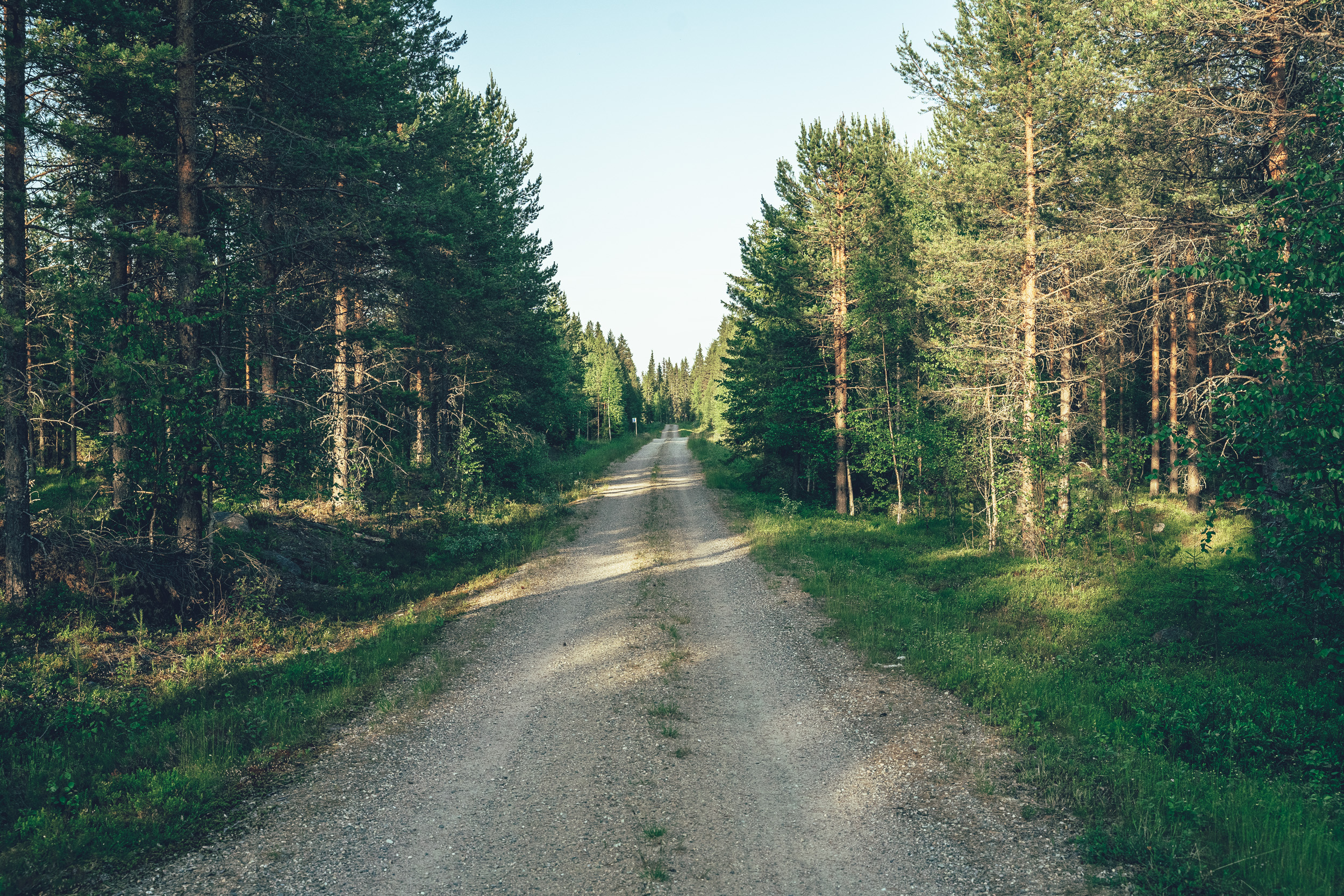
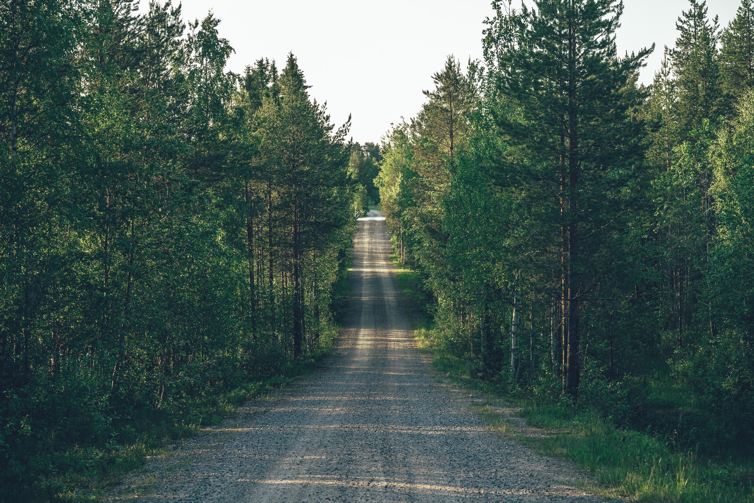
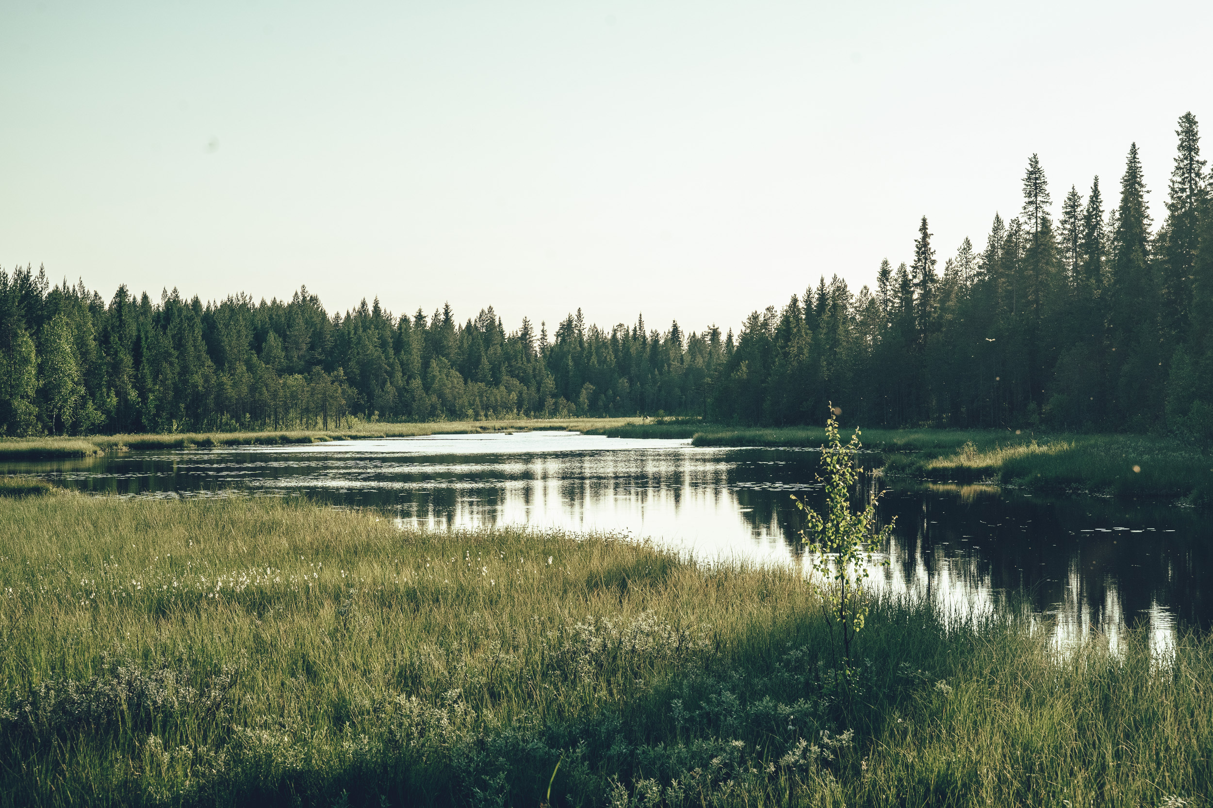
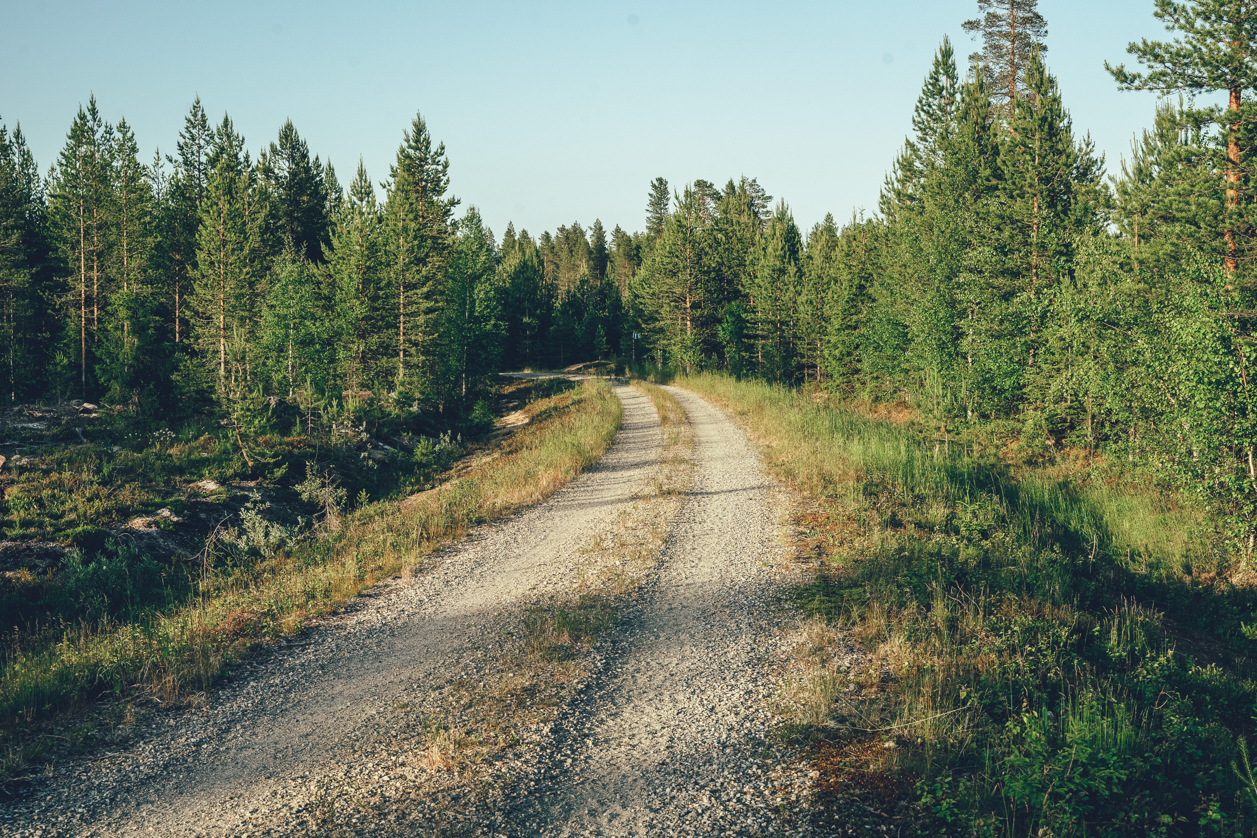
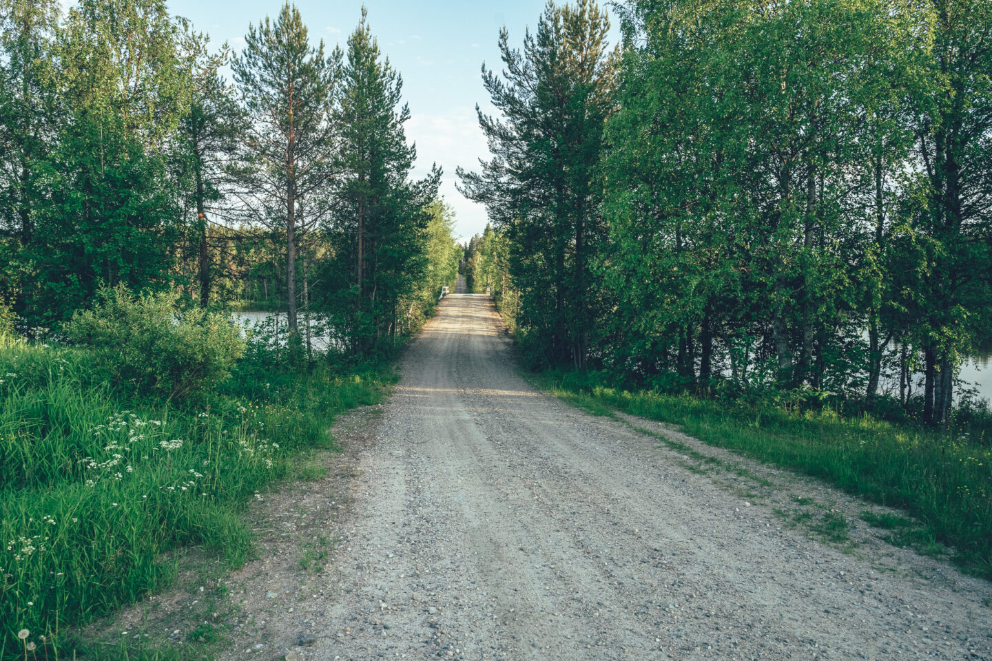
The Central Posio Loop starts from the parking area of the Pentik Culture Centre and follows easy, quiet main roads for roughly 19 kilometres through forest scenery towards the Lapiosalmi Wilderness Centre. From the Lapiosalmi junction the route turns north, and after the wilderness centre it transitions into a section of weathered pine forest riding along a beautiful esker ridge. From both the crest and the base of the ridge you’ll get striking views over remote wilderness lakes to the east and west.
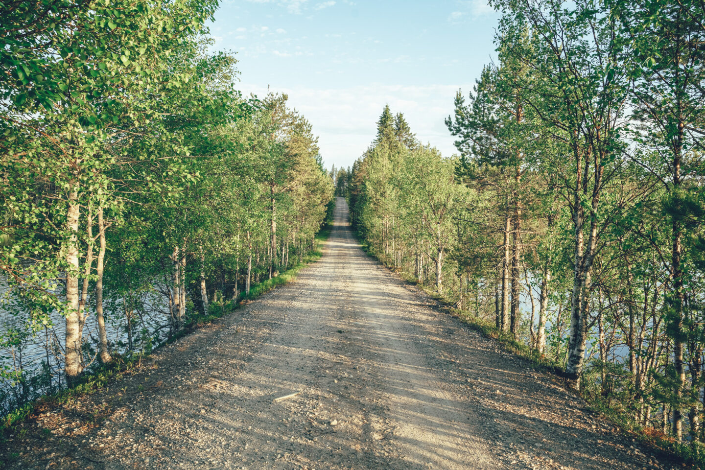
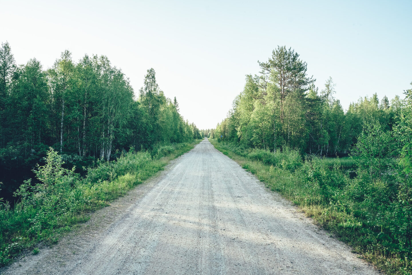
The highlight of the day is the section heading towards Korouoma. After around six kilometres of a clearly more demanding road section, the route reaches Saukkovaarantie, which skirts the Korouoma area. From here you can take a roughly one-kilometre walk to Koronlatvajärvi and its lean-to shelter, perched beside a deep canyon ravine. The route then continues as an easier, varied whole through forest and lake landscapes: at times smooth gravel, at times paved road, and at times smaller forest roads back to Central Posio and onward via Ahvensalmi to the starting point.
This is an excellent one-day ride, but there are also several options for breaks and overnight stays along the way—from clean sheets to smoky lean-to bunks and camping. After a long day in the saddle, it’s hard to beat a swim in one of the lakes along the route to wash off the day’s dust.

- Old, remote forest roads on the western side of Lake Posiojärvi
- A rideable and interesting gravel approach towards the Korouoma Canyon
- An eight-kilometre scenic ridge trail on the Korouoma hiking route
- The dramatic surroundings of the Koronlatvajärvi lean-to
- Aimojärvi lean-to, and the Iso-Kuulea lean-to and day-use hut by crystal-clear waters
- Latvajärvi rental cabin on top of the ridge, by the Latvajärvi lakes
- The only services on the route are the three lean-to shelters and the reservable hut in the Korouoma area.
- There are no food services along the route, so carry enough food and water for the day.
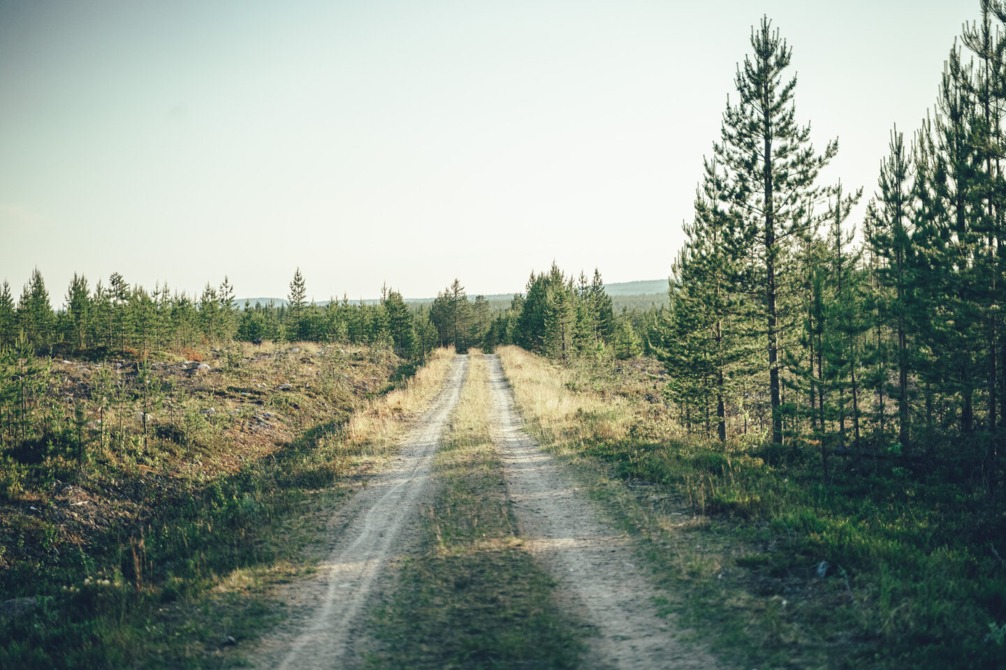
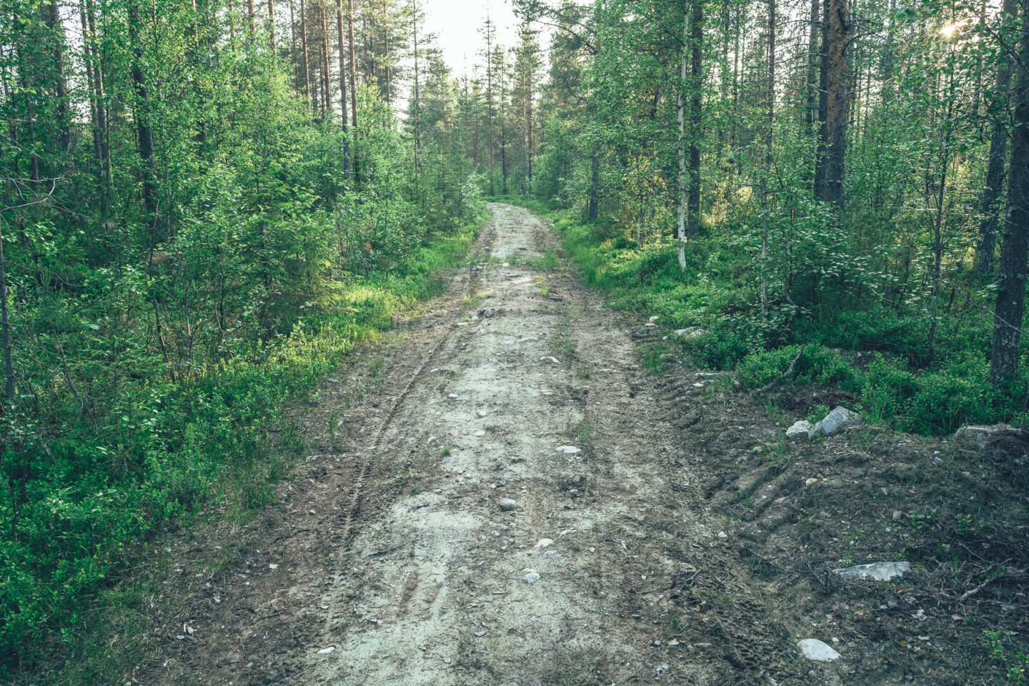
- The eight-kilometre trail section on the Korouoma hiking route is technically very demanding and, depending on your skills, will likely involve pushing the bike for parts of it.
- The route otherwise suits any bike that can fit at least 50 mm tyres. Experienced riders may manage on 45 mm, but ideally you’ll want 50 mm or wider—and considering the trail section, even wider tyres can be a significant advantage.
- The gravel season in Posio typically starts by early June once roads have dried after the spring thaw, and usually ends in late September when temperatures drop below freezing. First snow typically falls in early October, though year-to-year variation is large. Day rides are enjoyable even in räkkä conditions, but if you want to avoid the worst of the biting insects, plan your visit from mid-August to late September.
- Navigation is digital only: the route is not waymarked on the ground. You will need a GPS device (watch, smartphone, or bike computer).
- Stay on the published route and use only the recommended camping and rest spots described in the route notes.
- Mobile coverage may be limited. In an emergency, call 112 (or use the 112 app) when you have signal.
- Carry basic first aid supplies and tools/spares for bike repairs.
- Lapland weather can change quickly—layering and waterproof gear are strongly recommended.
- The start and finish are in Posio, so it makes sense to stay near the village.
- Himmerki Resort offers a wide range of accommodation from camping to small cabins and large log villas.
- The route can also be ridden as an overnighter—for example by camping at the Koronlatvajärvi lean-to (52 km from the start) or staying at the Latvajärvi rental cabin (57 km from the start).
- There are no food services along the route, so carry enough food and drink for the day.
- There are no clear natural water points such as springs, so be prepared to carry your water. Water from Korouoma’s clear lakes and ponds can be used if properly treated/purified.
- Much of the gravel riding is smooth, but there are also slower and rougher sections both west of Lake Posiojärvi and on the way towards Korouoma.
- The most demanding part of this route—and of the whole Posio network—is the eight-kilometre ridge trail section on the Korouoma hiking route. For some riders, much of it may be a hike-a-bike. There are also a few steep climbs and descents where pushing the bike should be done with care. The reward is one of the most beautiful trails in the network, high on the ridge with lake views.
- Total climbing is around 920 metres, which is typical per 100 km in Finland, but some climbs are steep and on rough forest roads, increasing the physical load.
- The demanding trail section makes an otherwise straightforward route quite challenging.
- After the trail section, the final 20 kilometres follow the main road back to the village of Posio, which works well as an efficient return after the toughest part of the day.
- The easiest way to reach Posio is to take a day or night train to Rovaniemi and continue by coach for about two hours. Several Helsinki–Rovaniemi trains run daily, including typically one night train. Bicycle spaces can sell out during the holiday season, but with multiple daily departures, tickets do not always need to be booked far in advance unless you plan to take the night train.
- Only a limited number of bicycles fit on the Rovaniemi–Posio coach services, but on most departures you can reserve a bike space in advance via Matkahuolto.
- As some Posio gravel routes require logistical support, a new transport service is planned for summer 2026 to assist cyclists with route logistics and possible evacuations.